From 2010 through 2015 I worked at the Russell Library in Middletown, CT. Russell Library has a wonderful historic photograph and postcard collection and we really wanted to make it more accessible. Denise Russo, one of the librarians at Russell, and I had many conversations about how we could make this happen. In the summer of 2013 we had our pages and a student worker begin a huge scanning project so that we could make our collection more accessible. Over the next couple of years we would occasionally post some of the digitized images on Flickr or the library's Facebook account.
In 2014 our attention was shifted away from this digitization project to an Irish Heritage Celebration that Denise coordinated. It was a huge success and Denise won a state-wide award for her efforts.
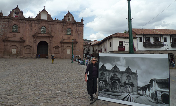
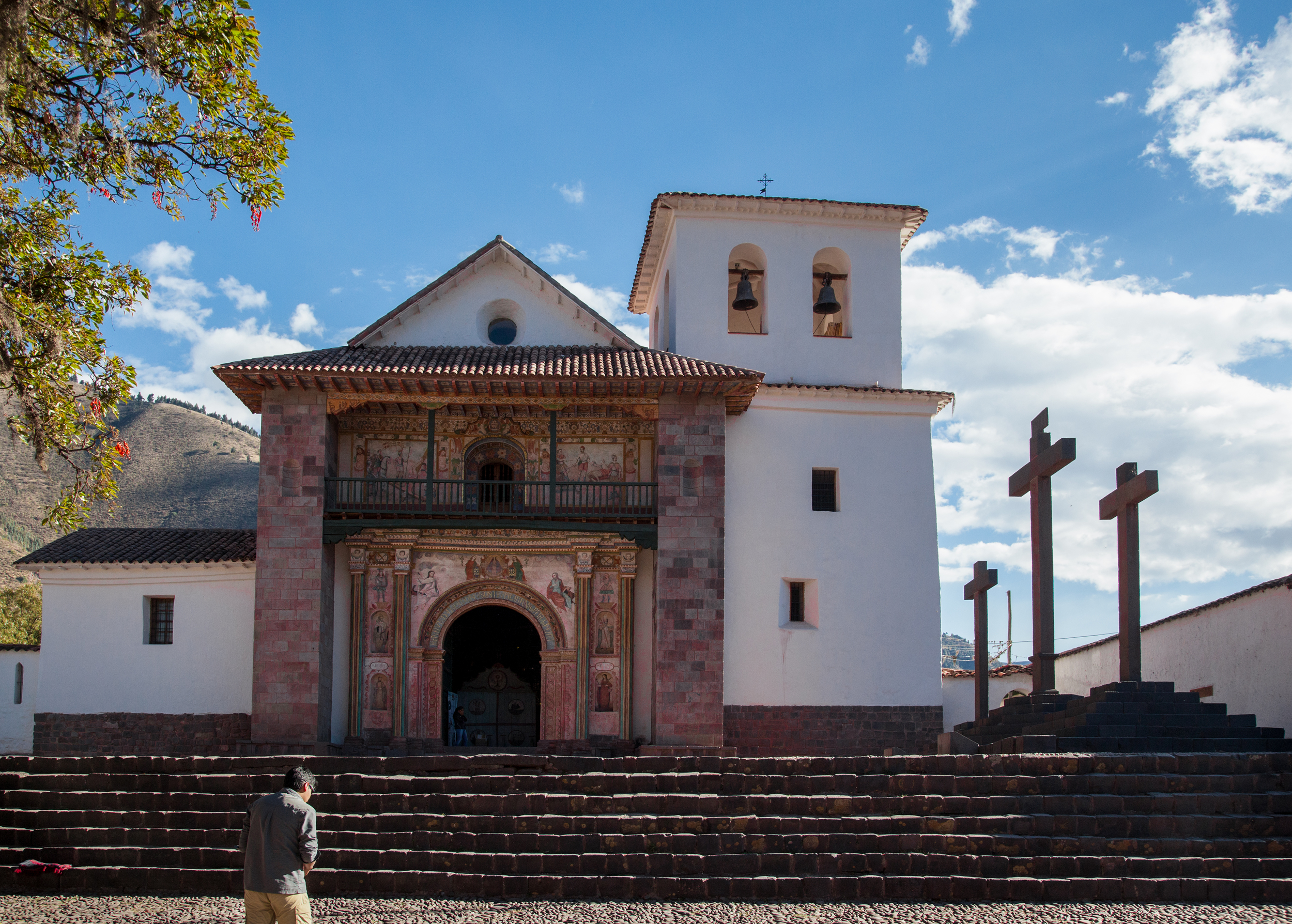
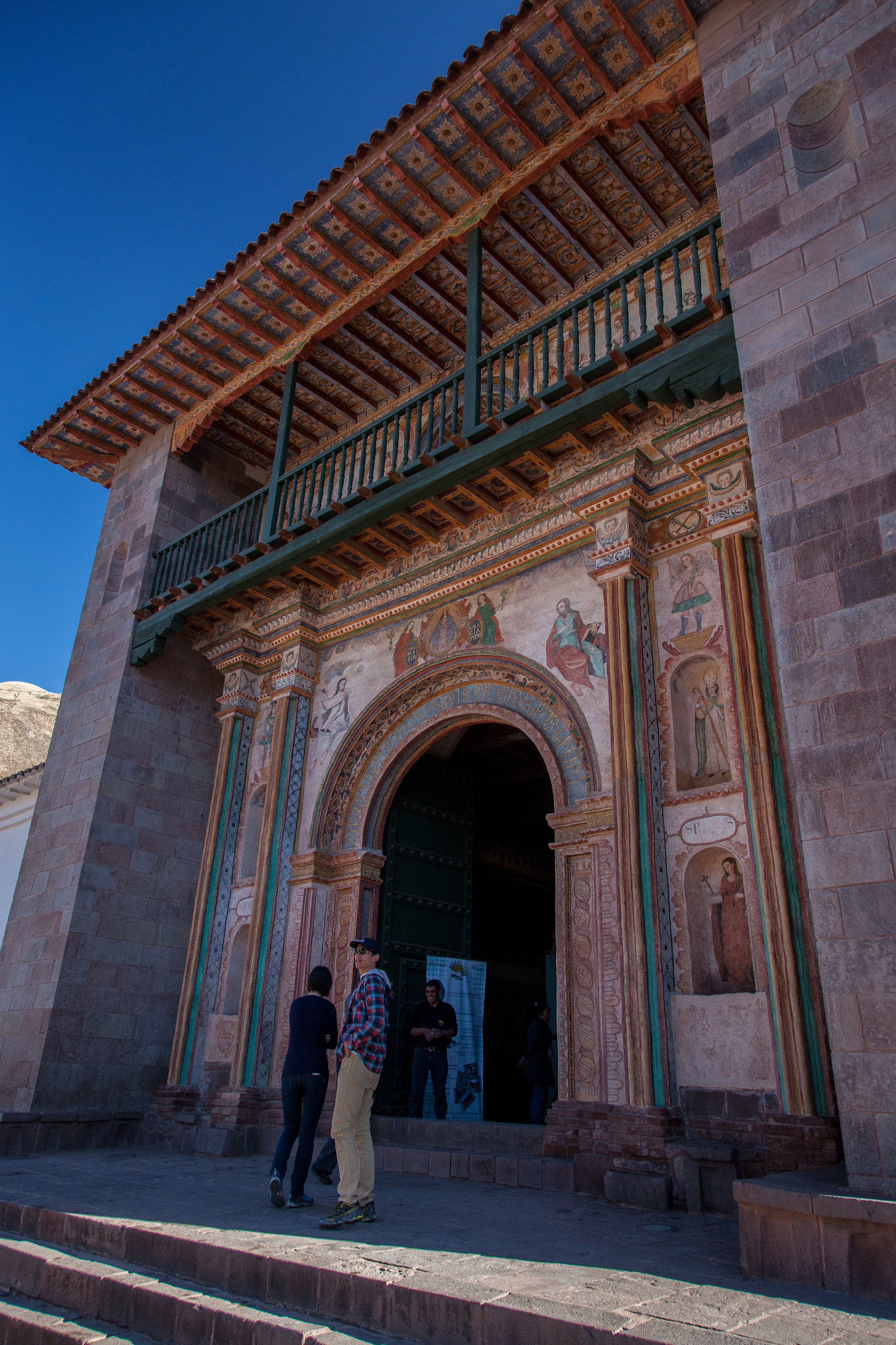
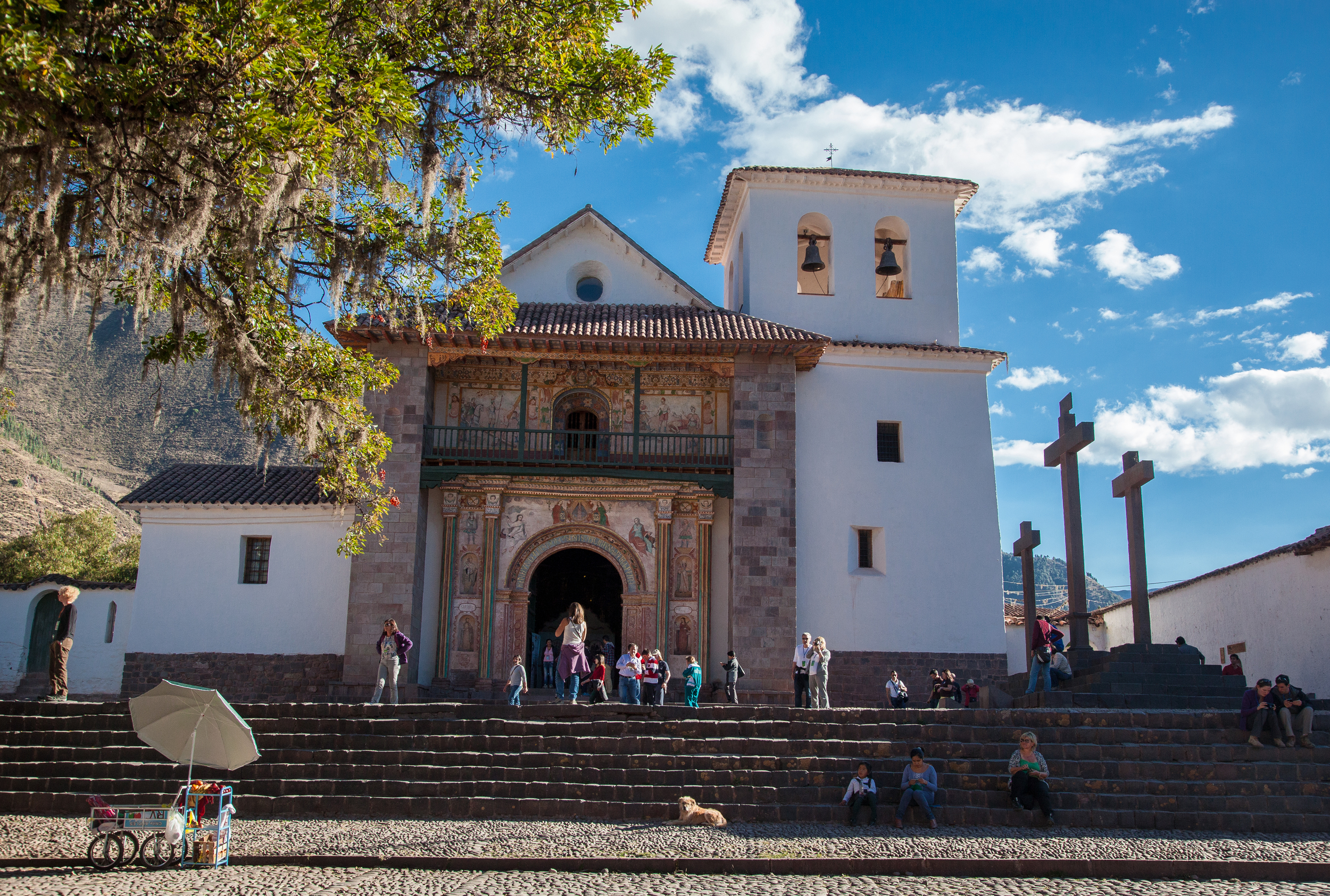
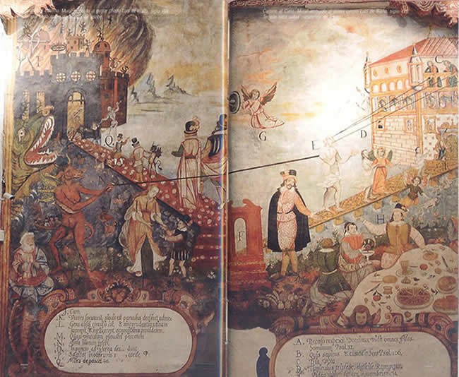
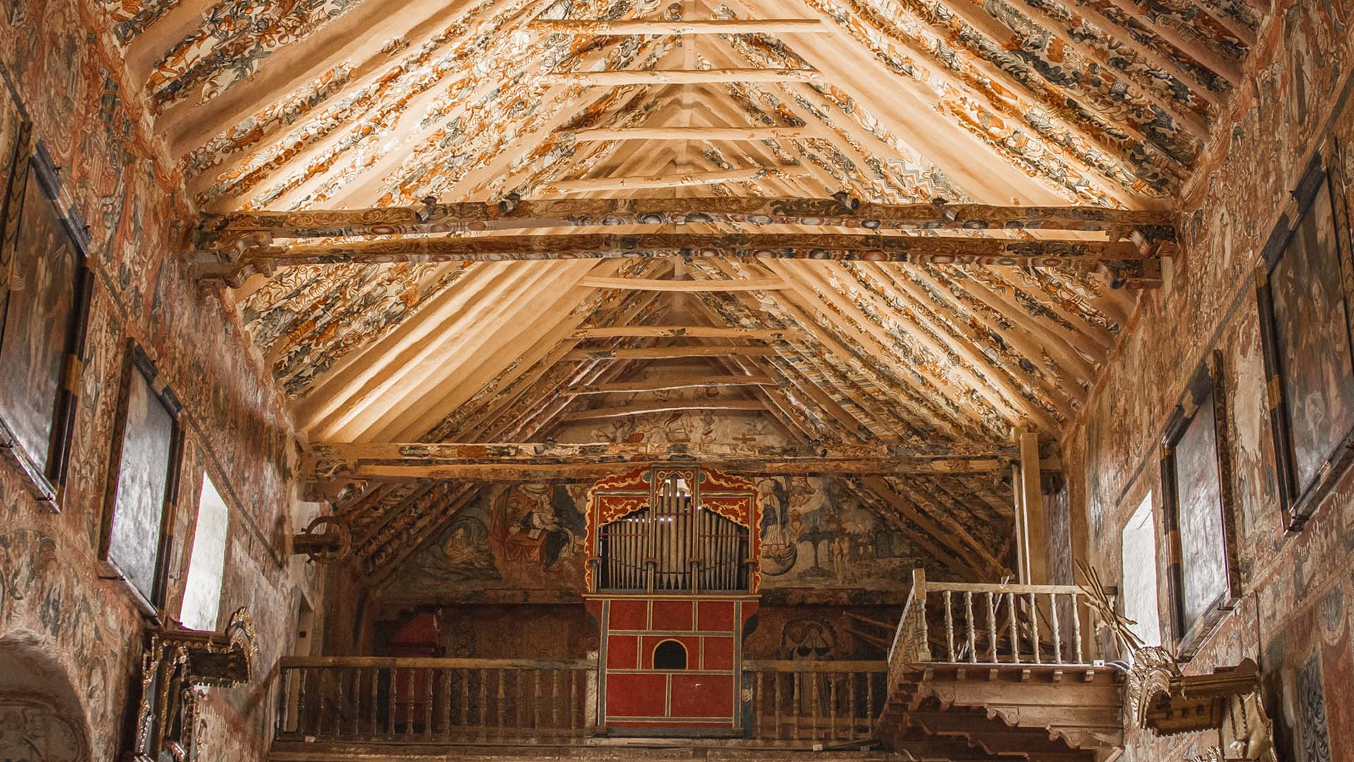
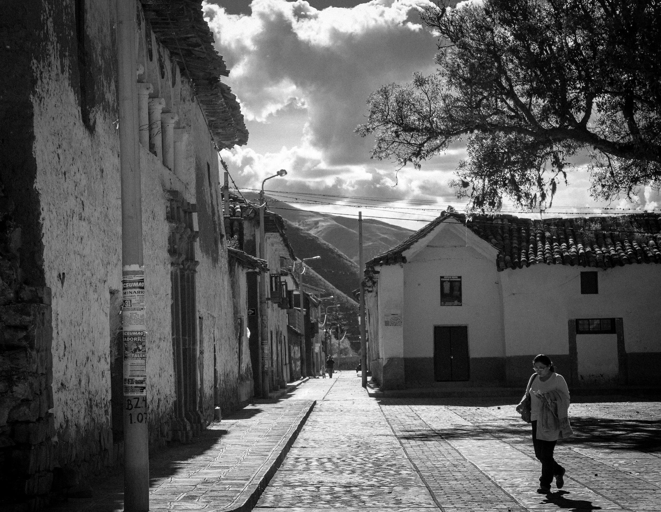
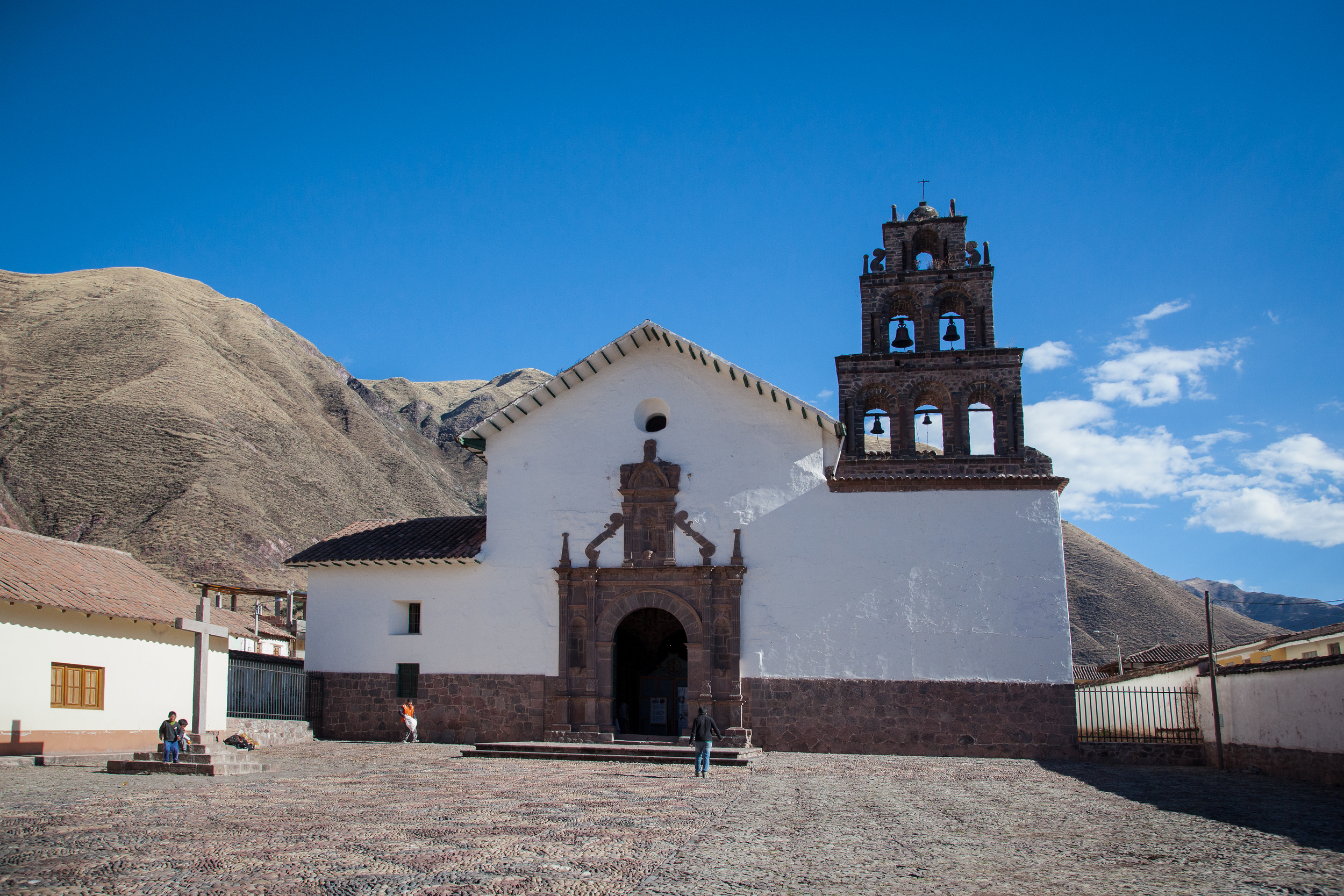
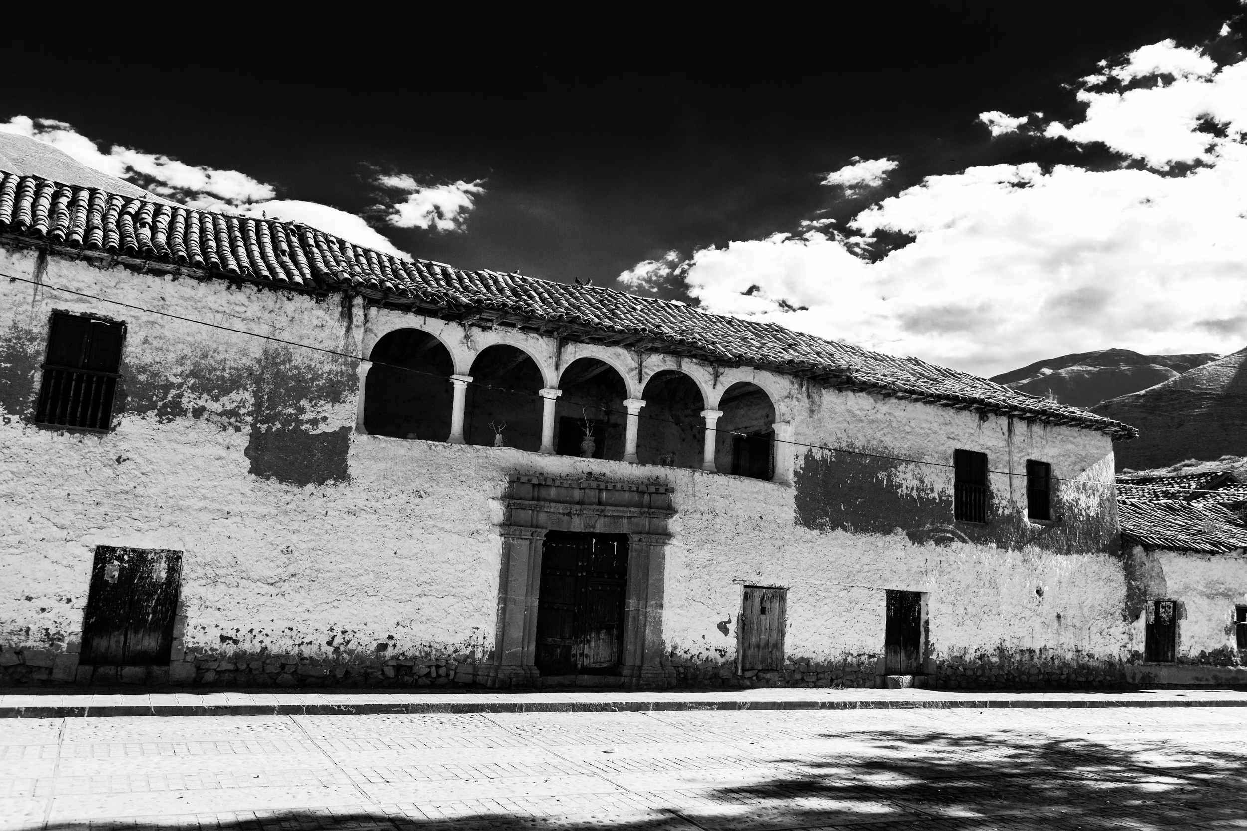
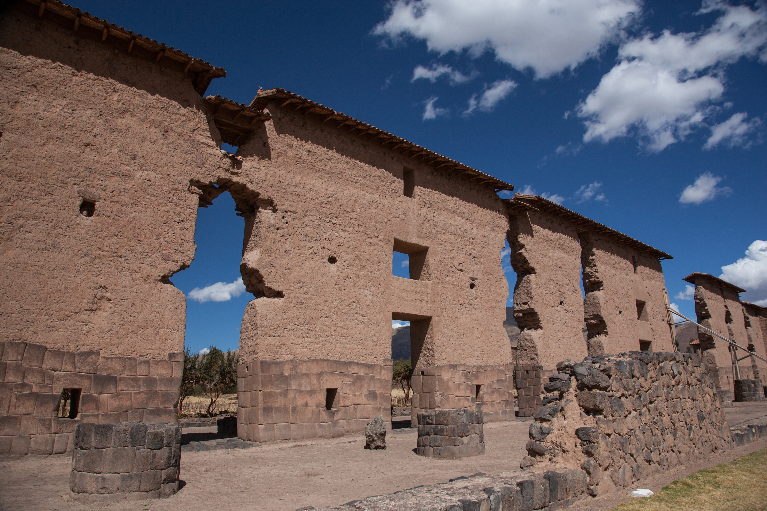
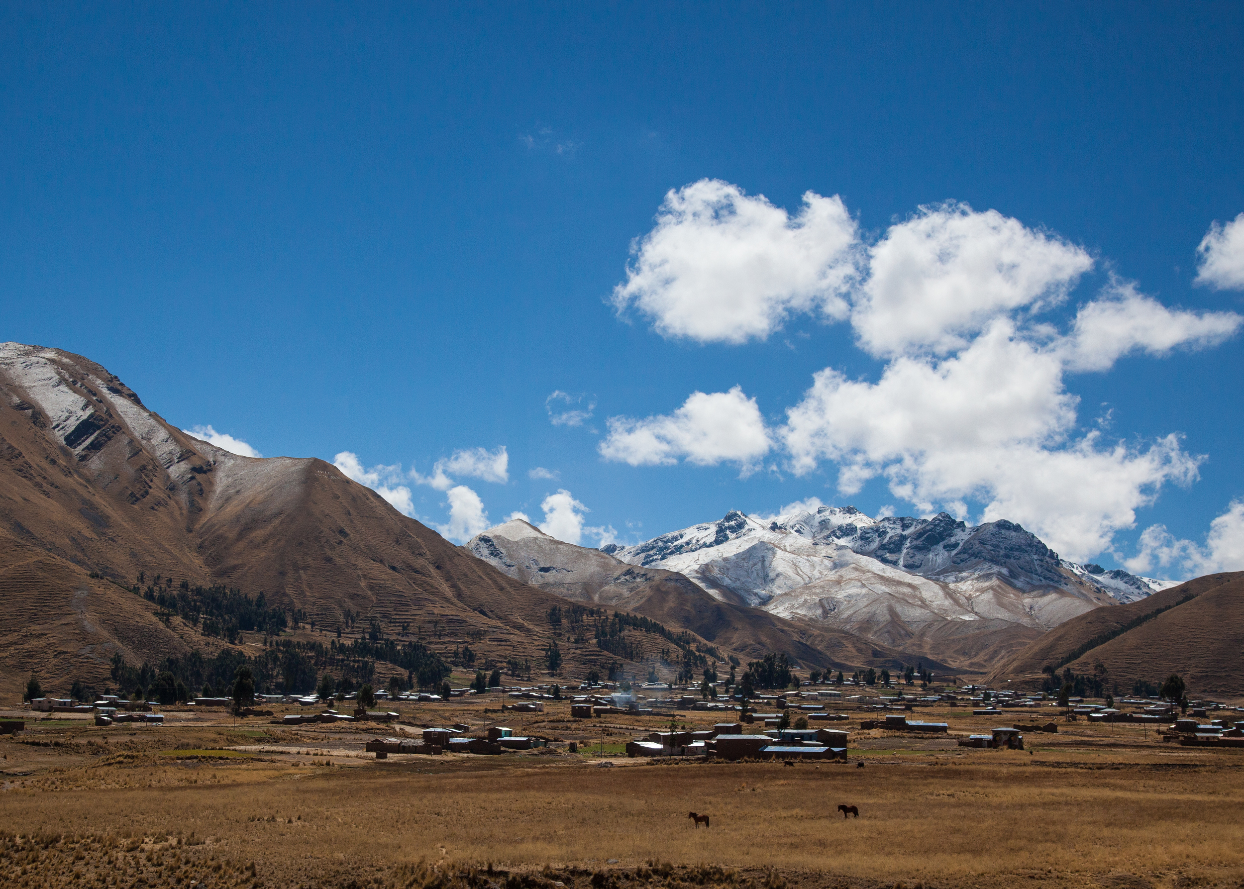
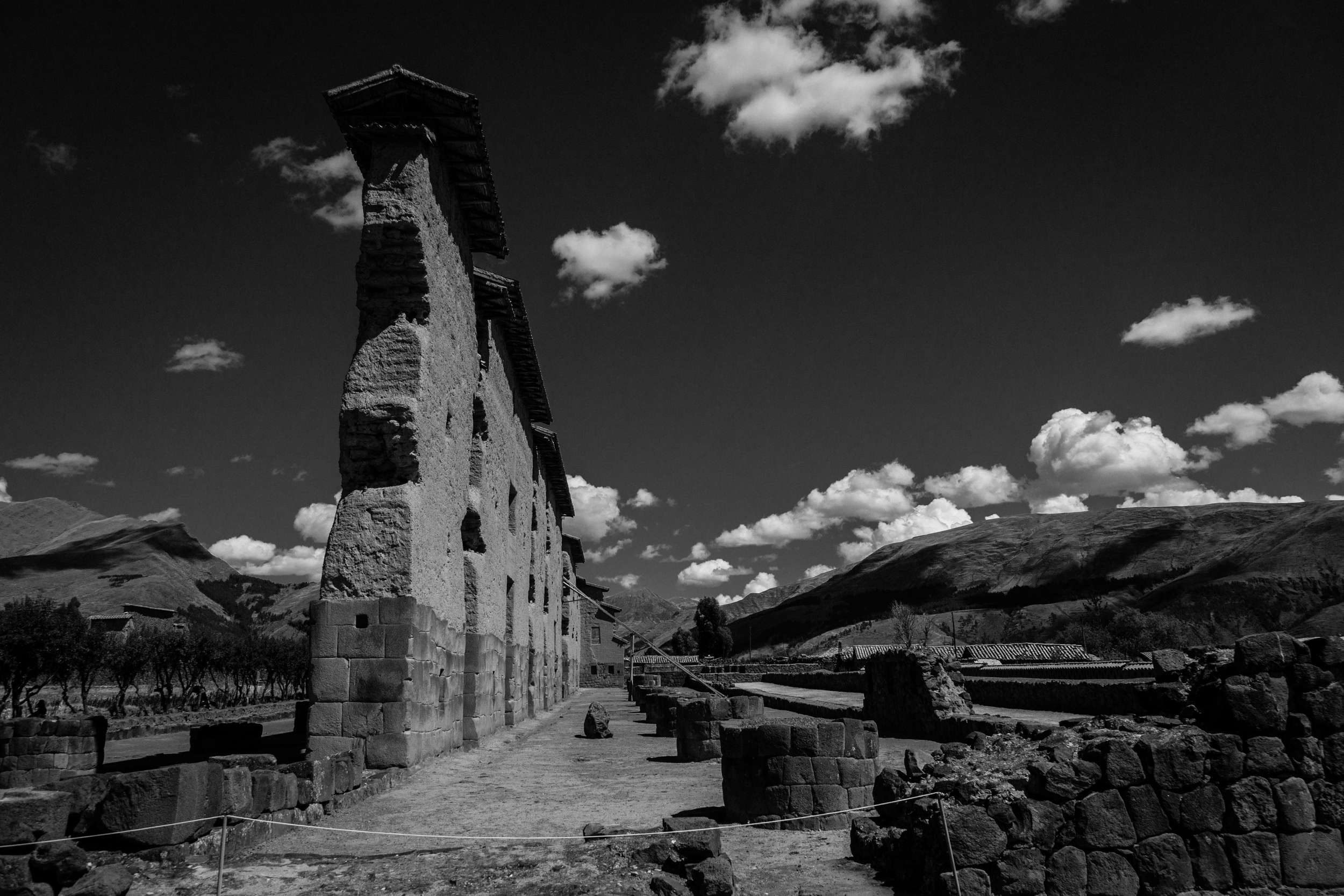
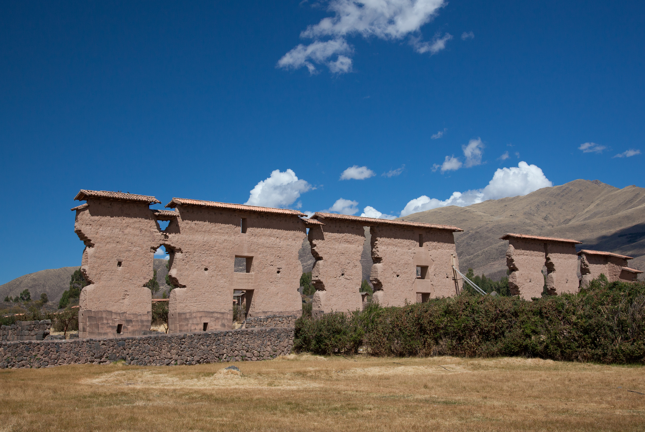
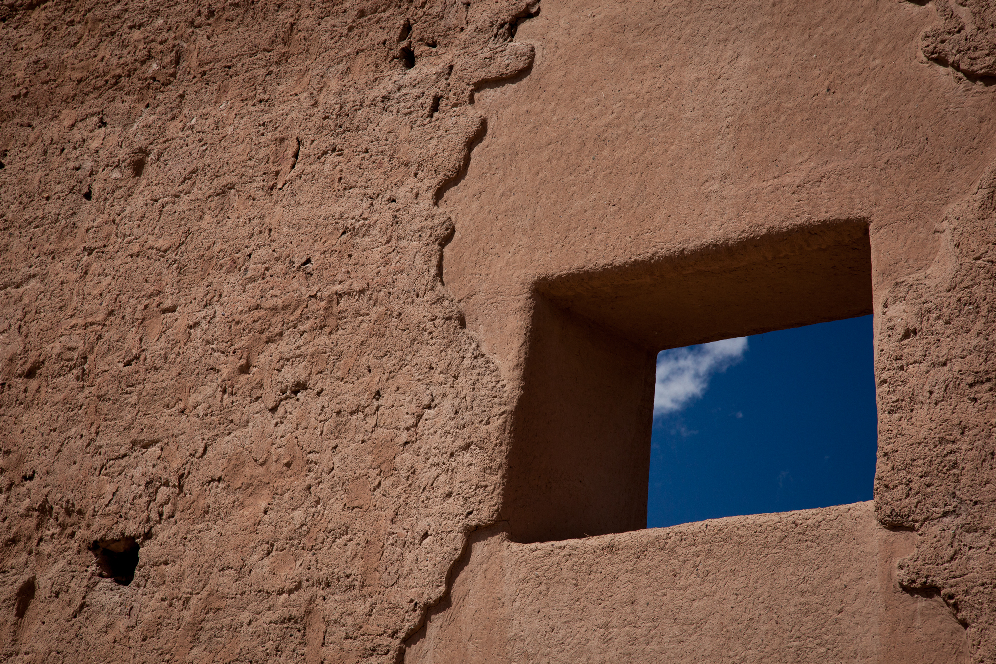
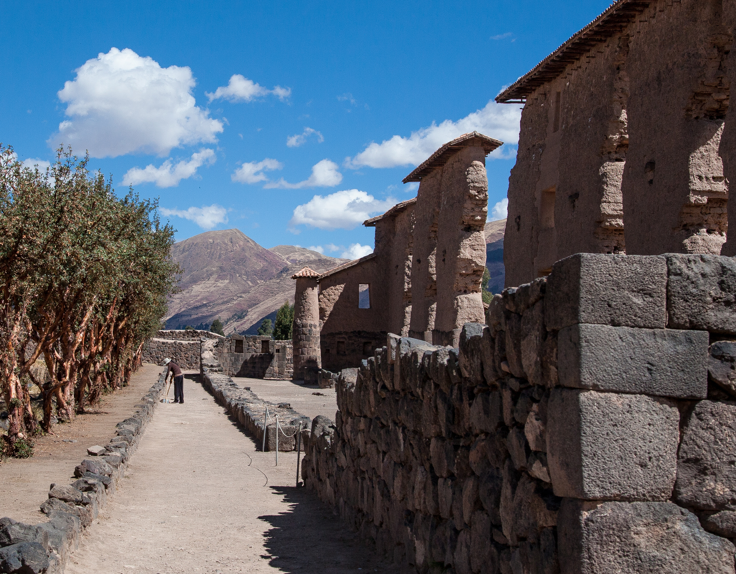
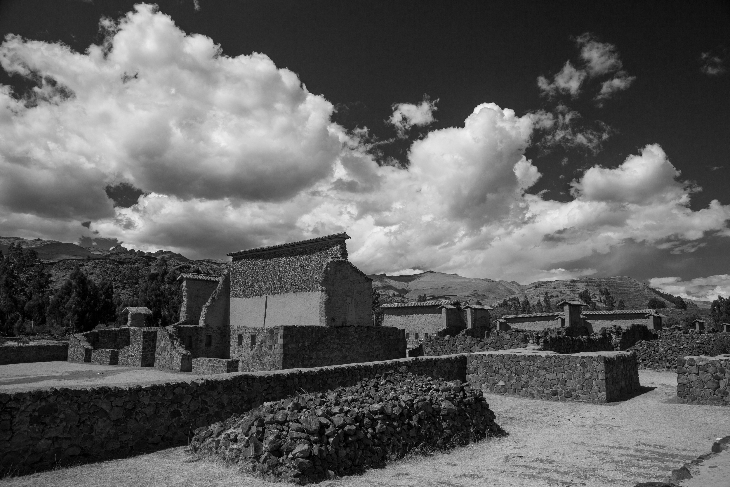
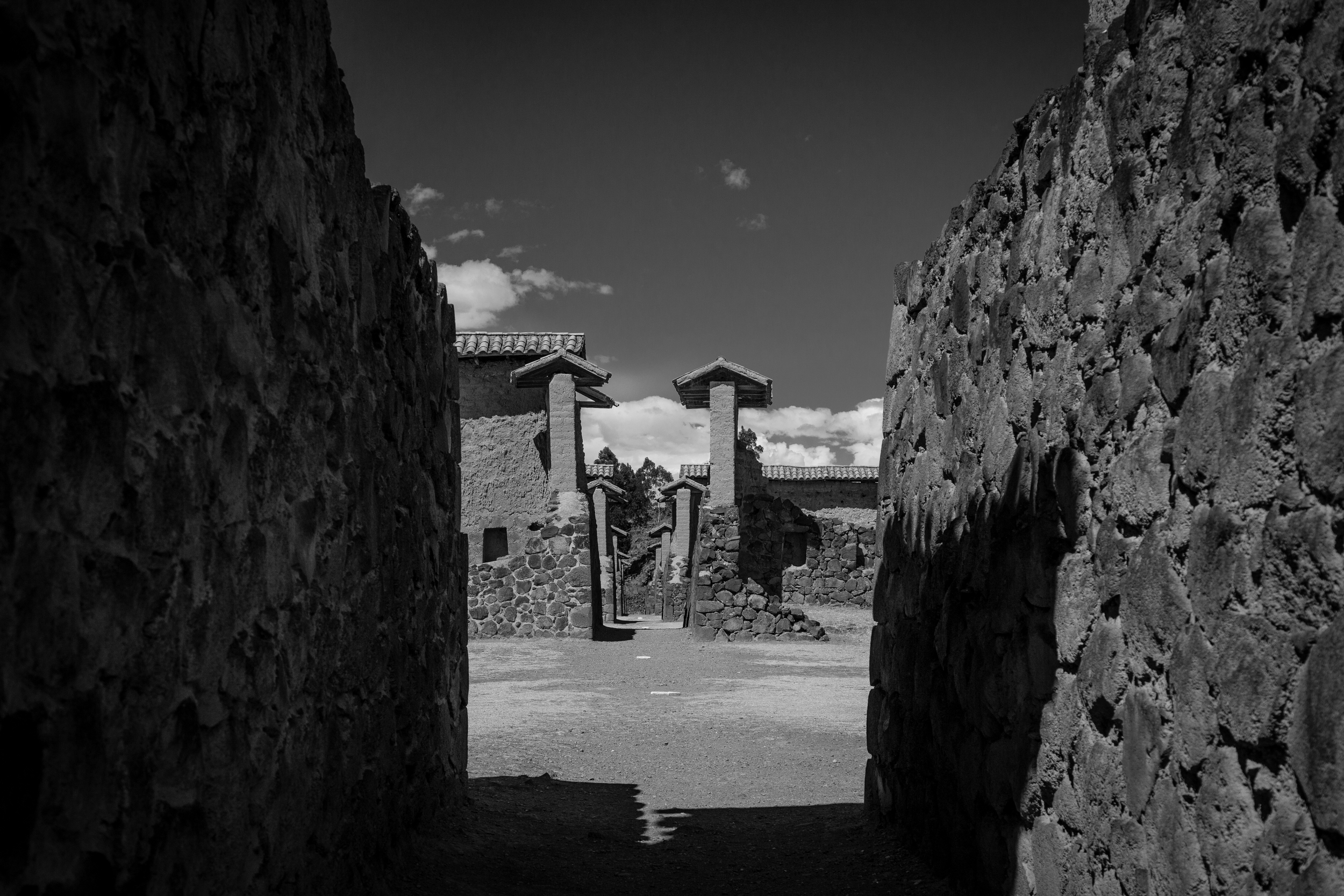
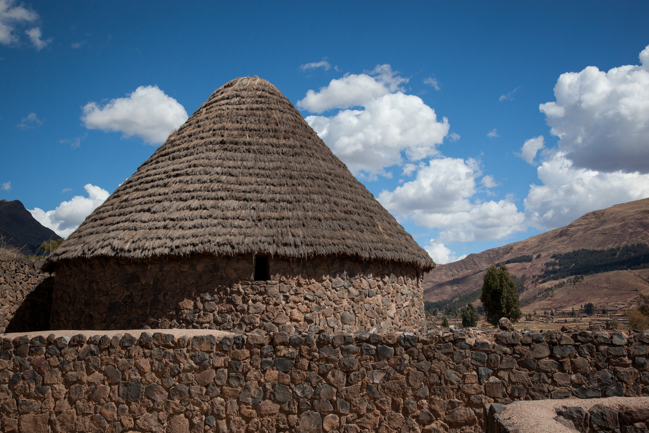
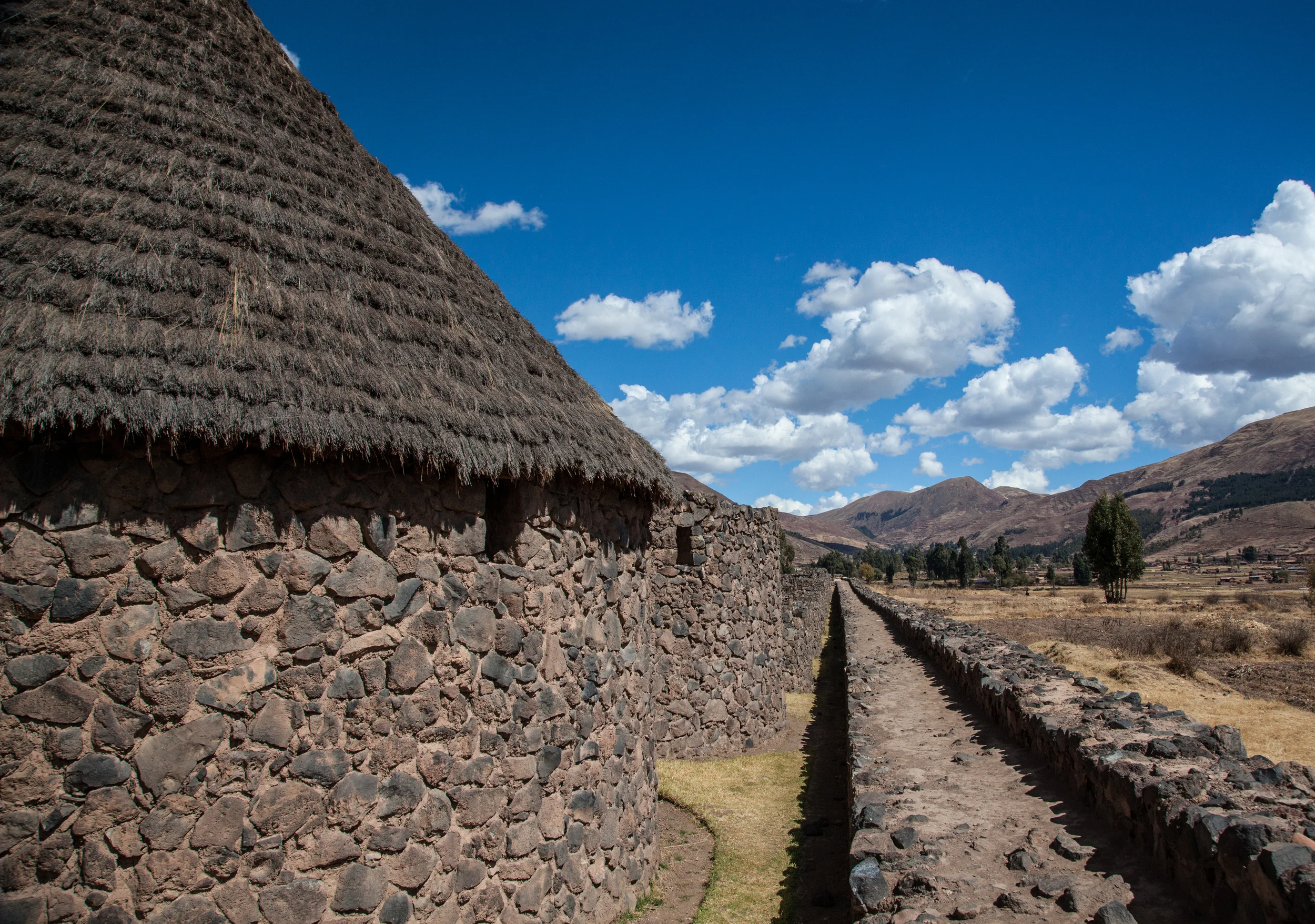
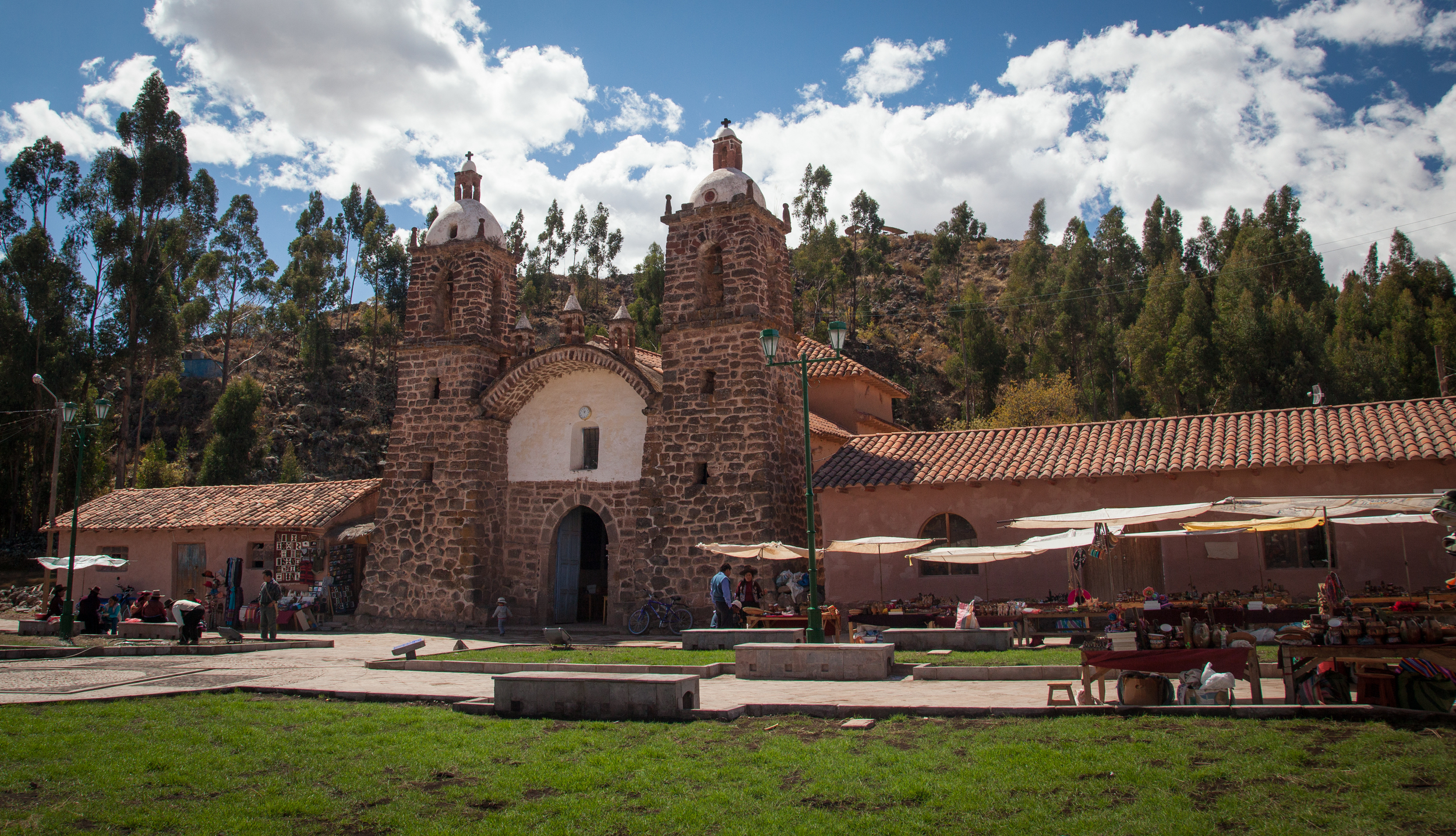
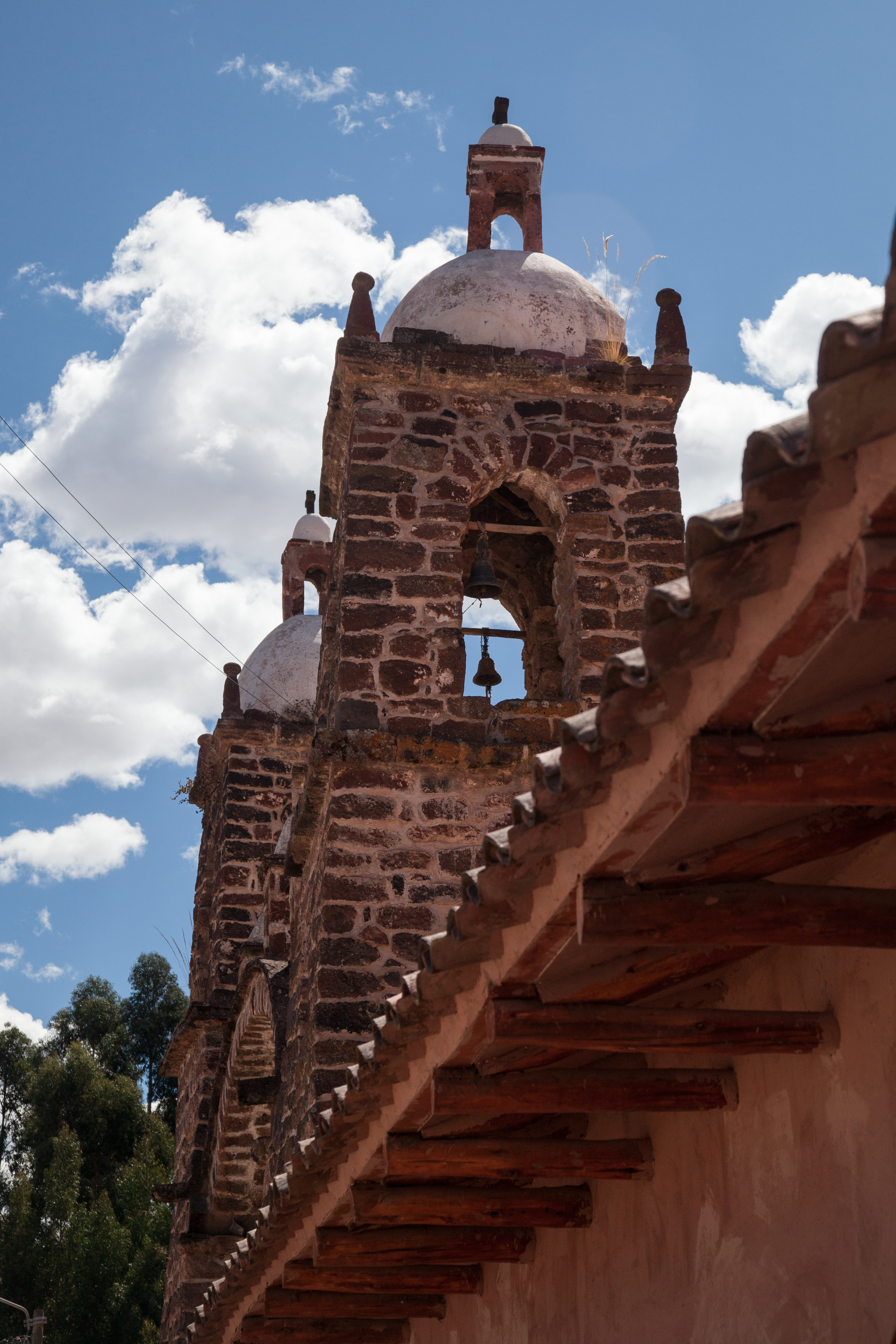
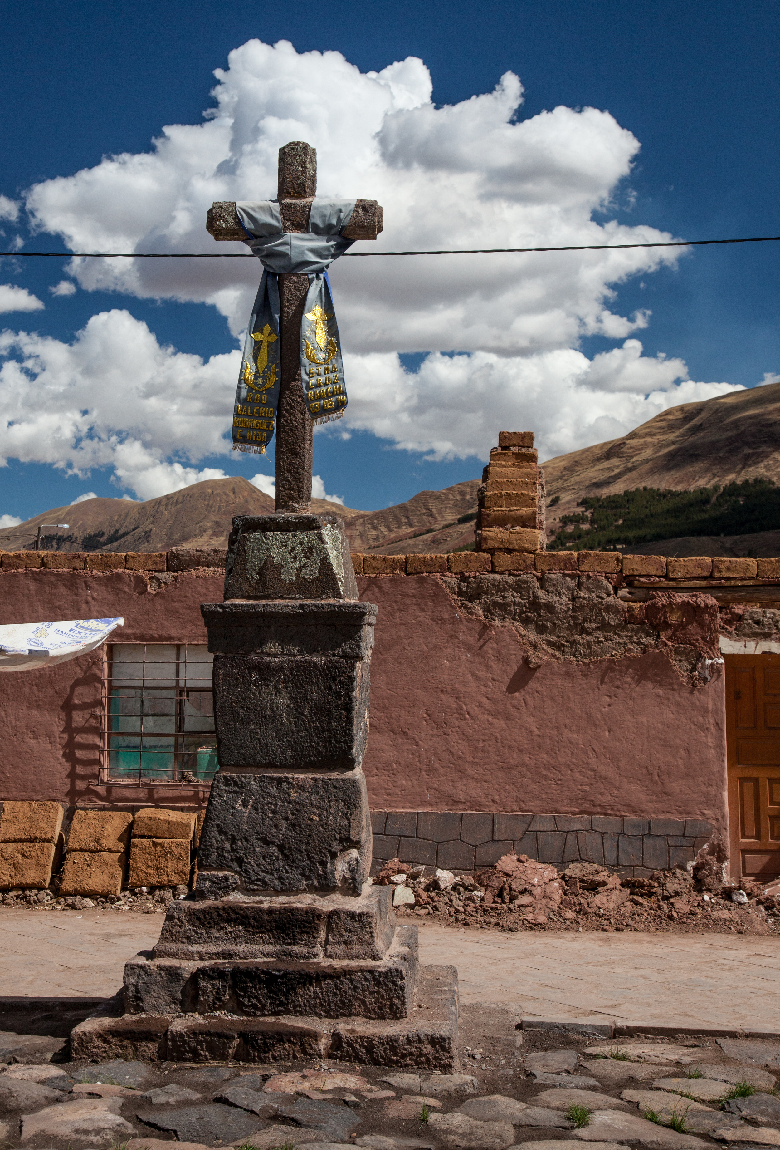
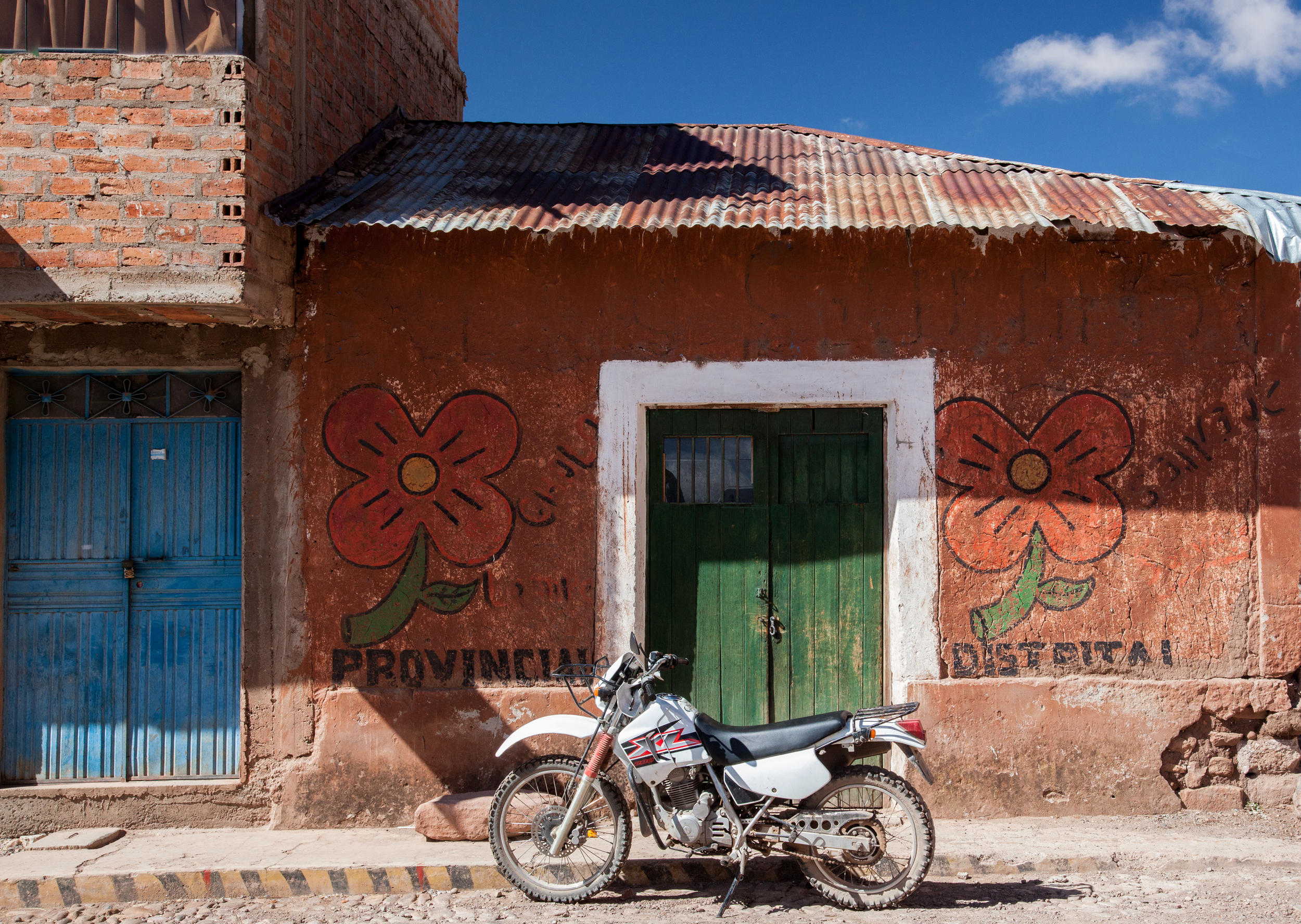
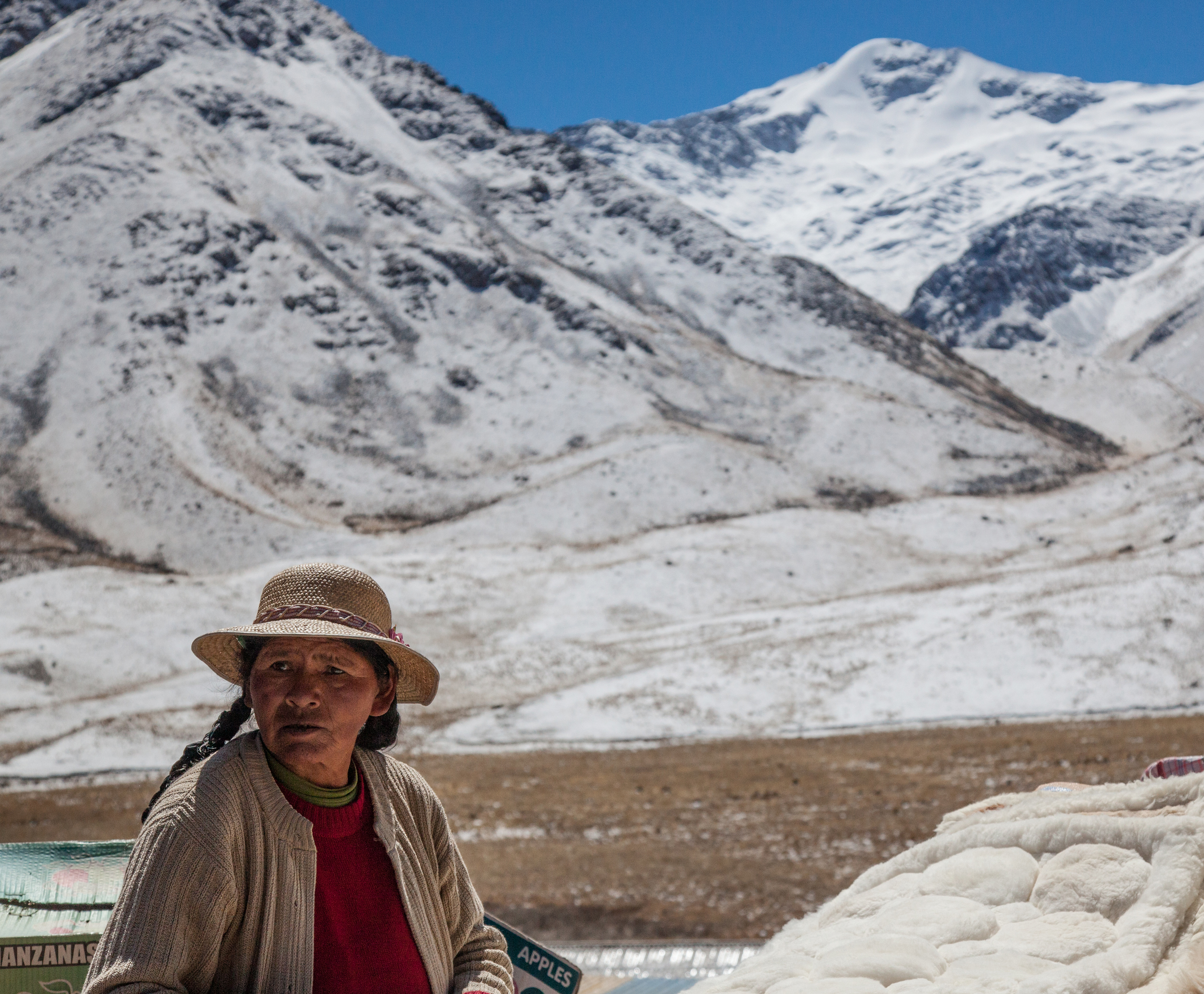
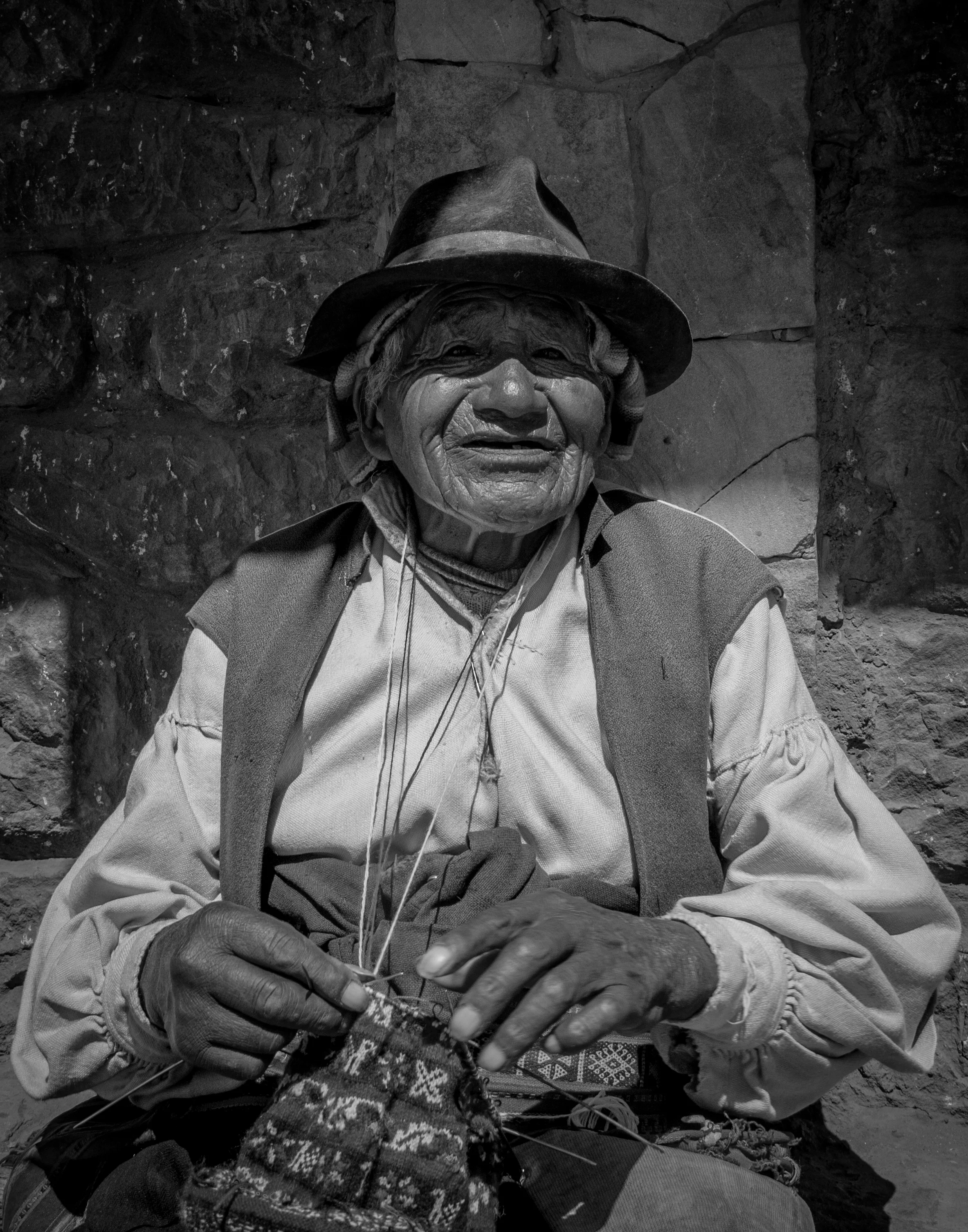
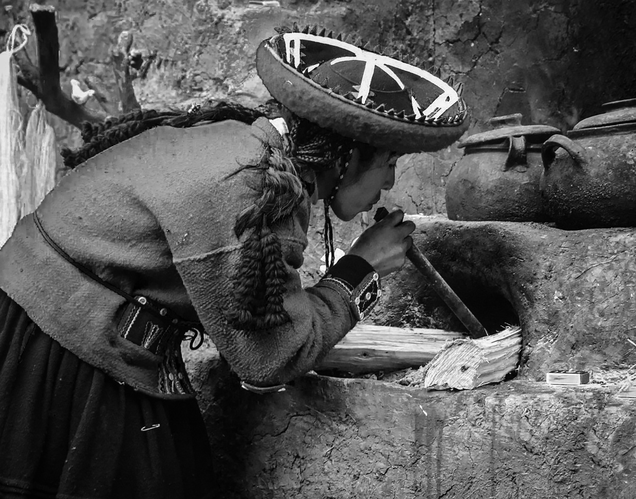
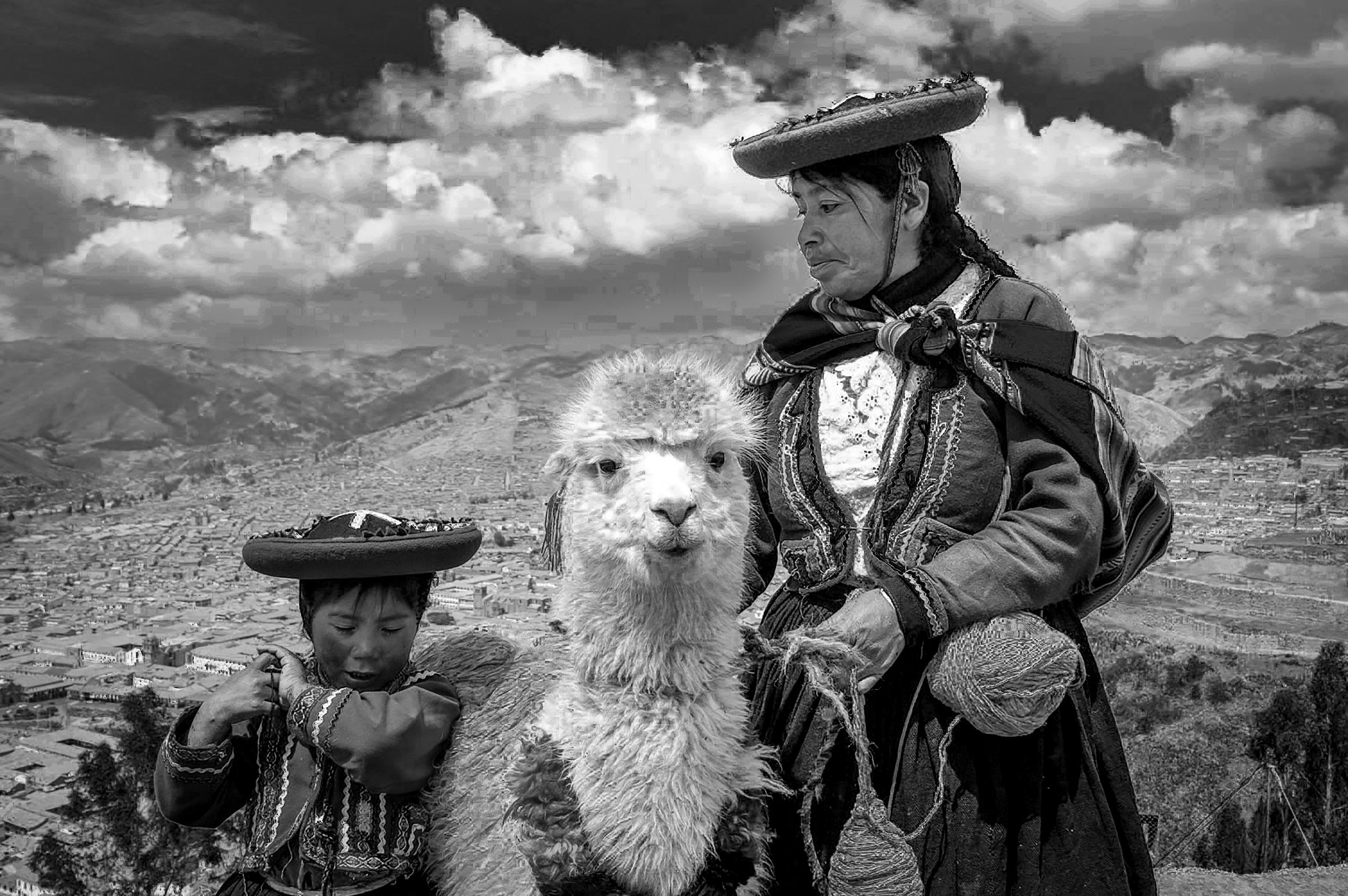
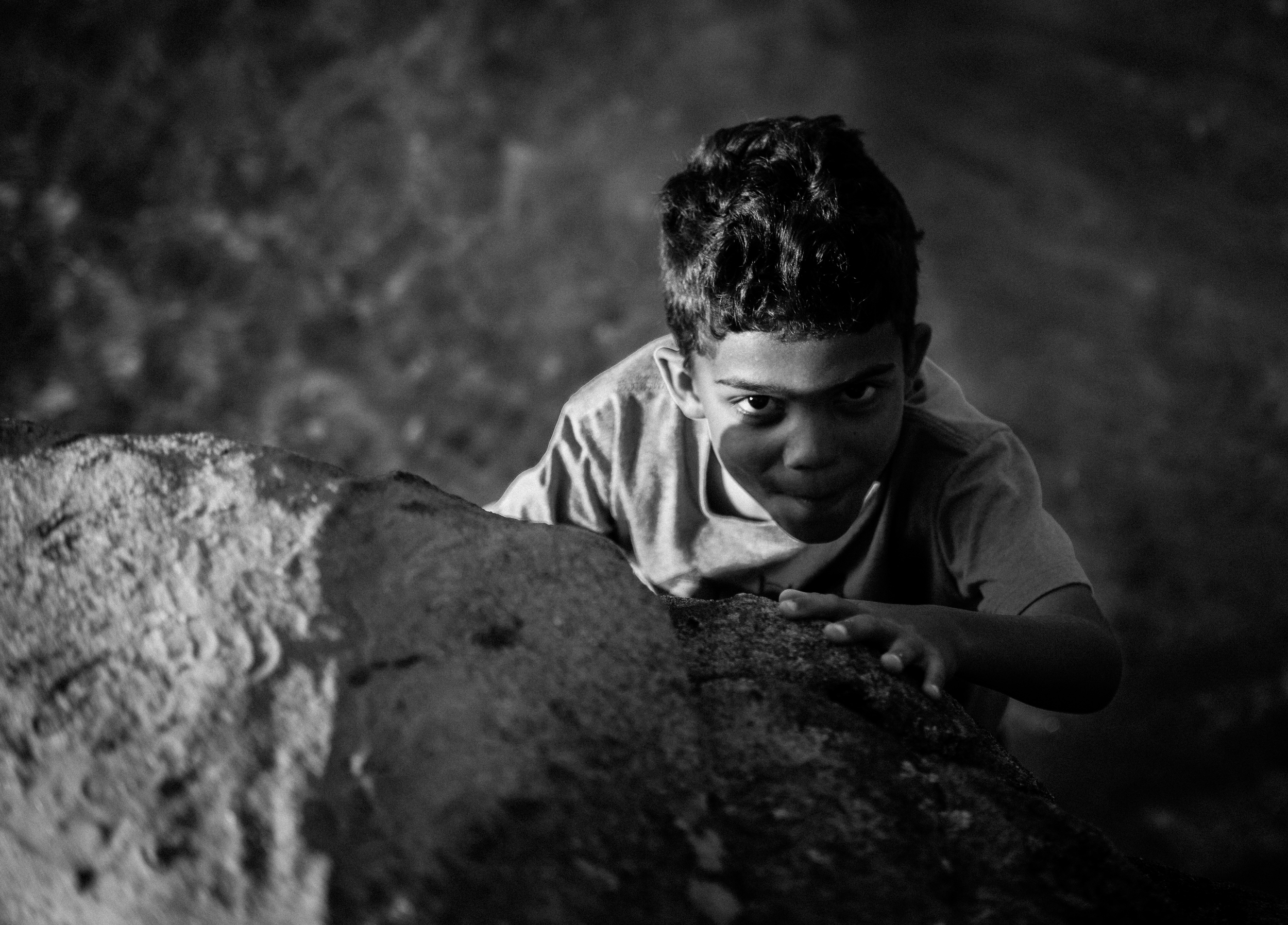
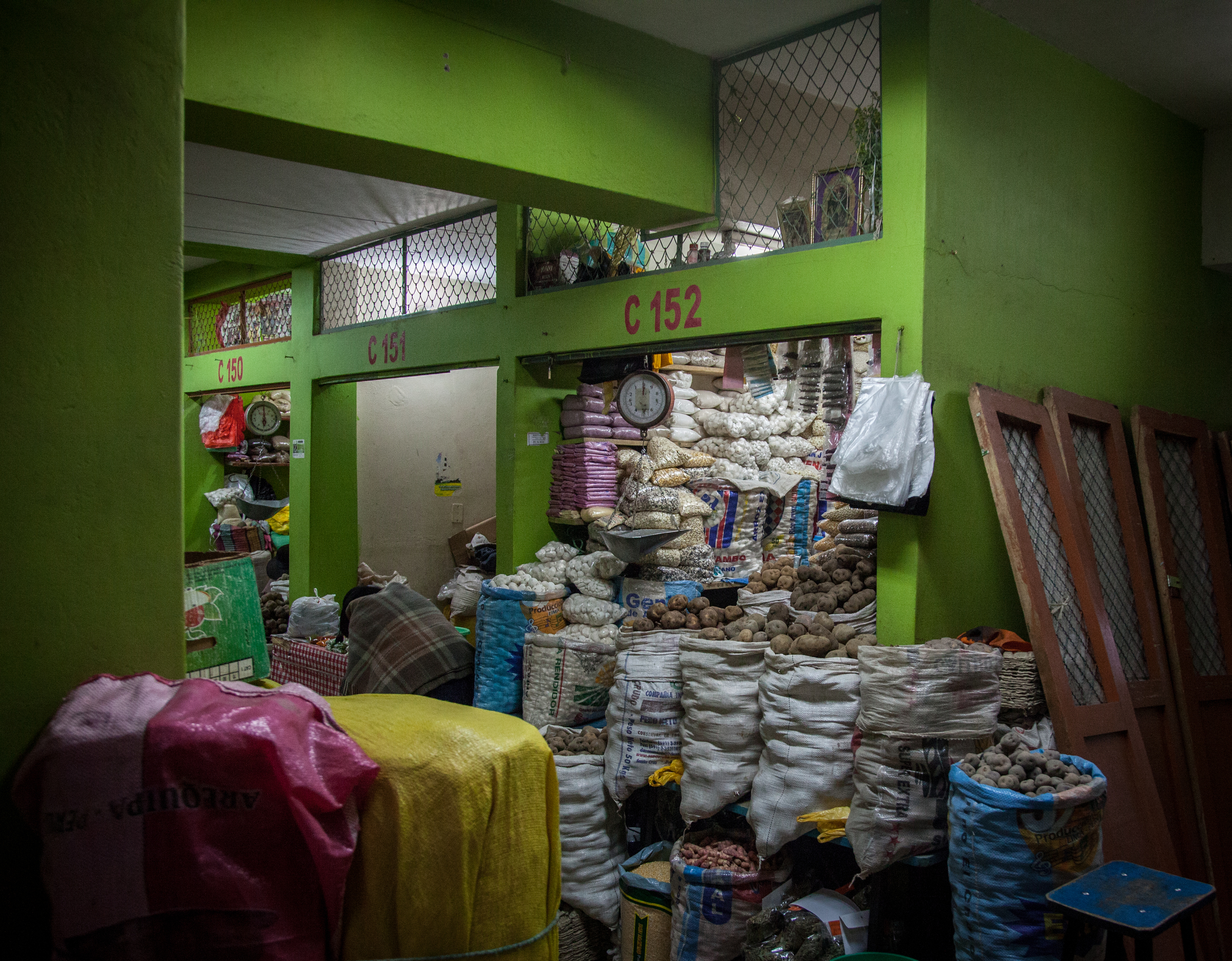
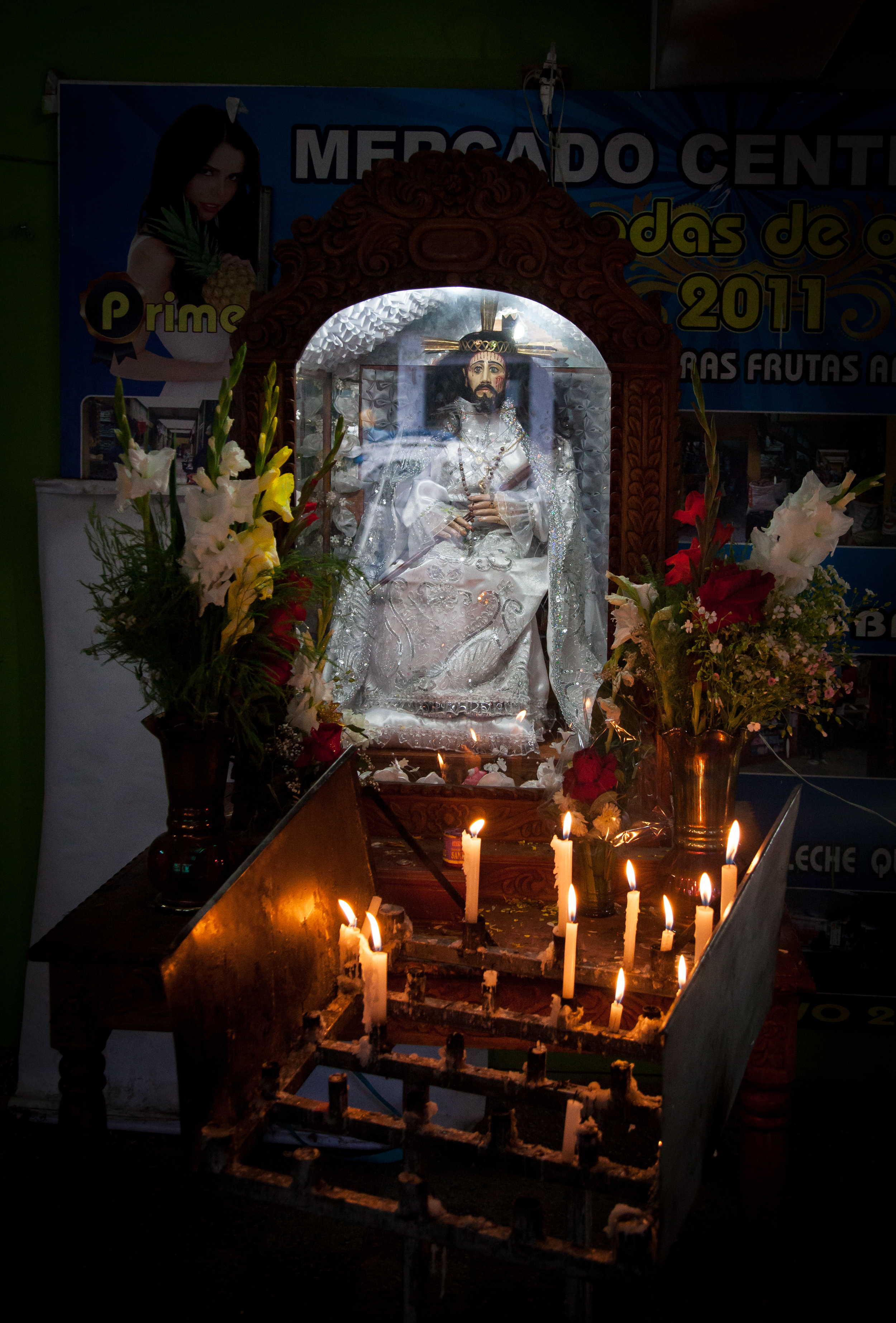
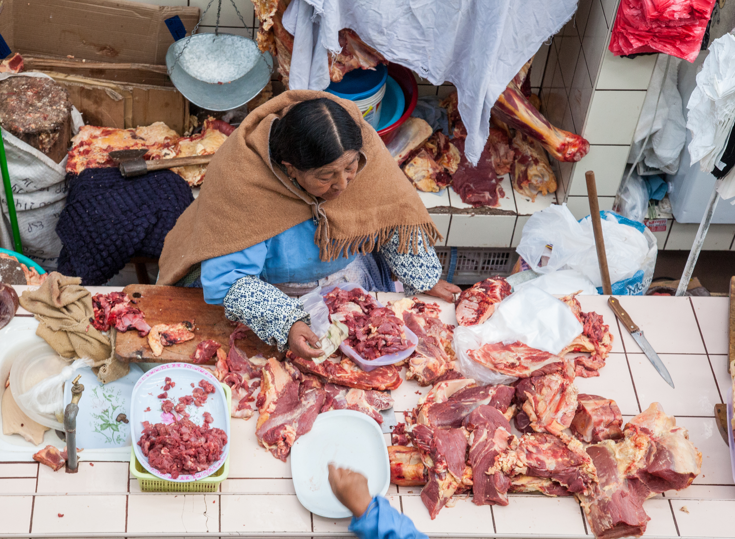
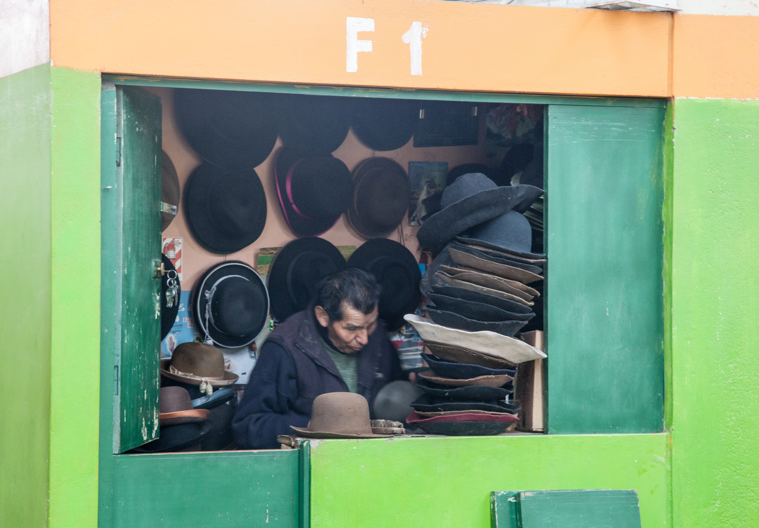
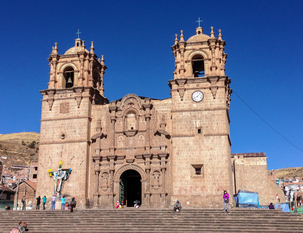
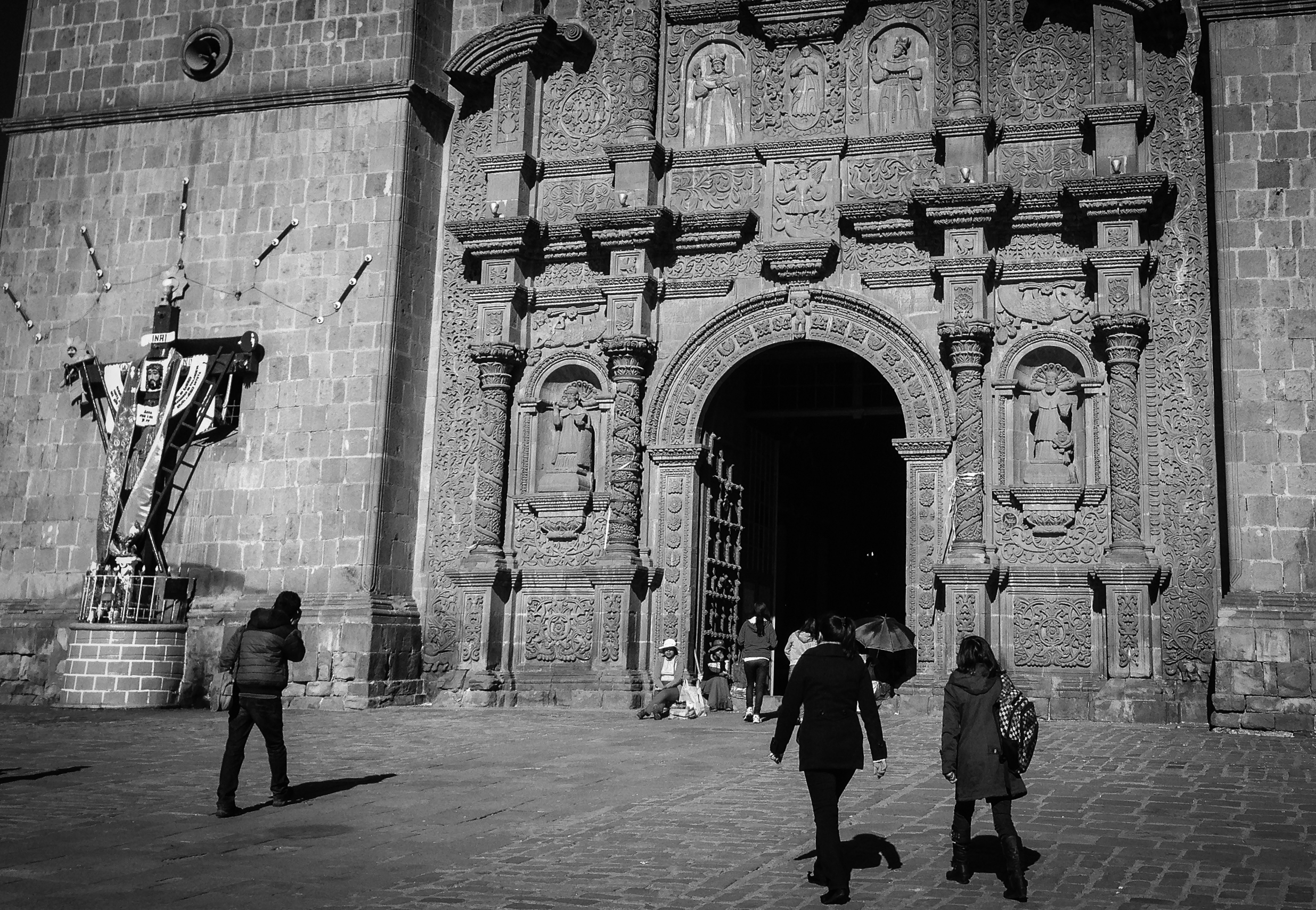
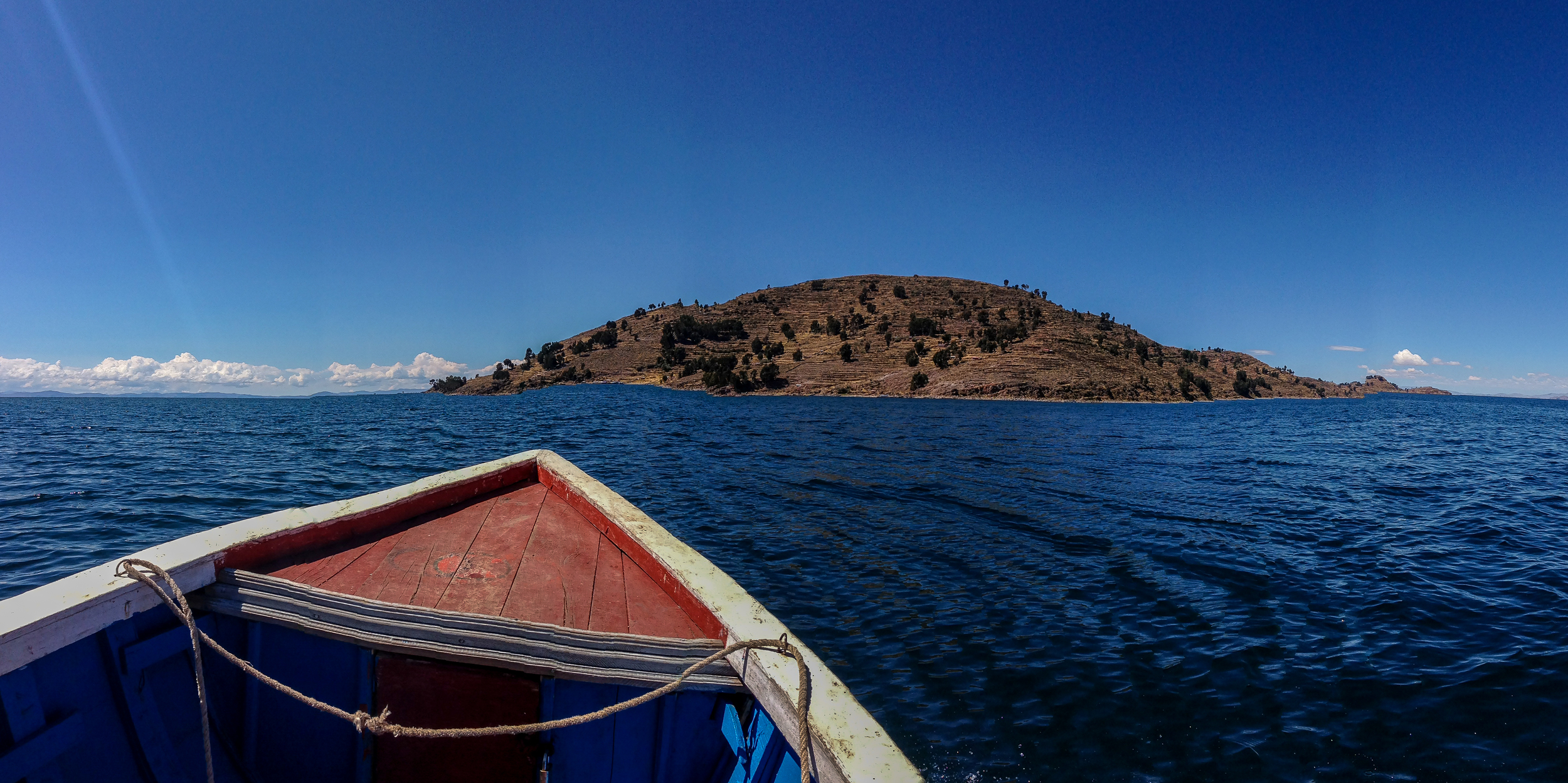
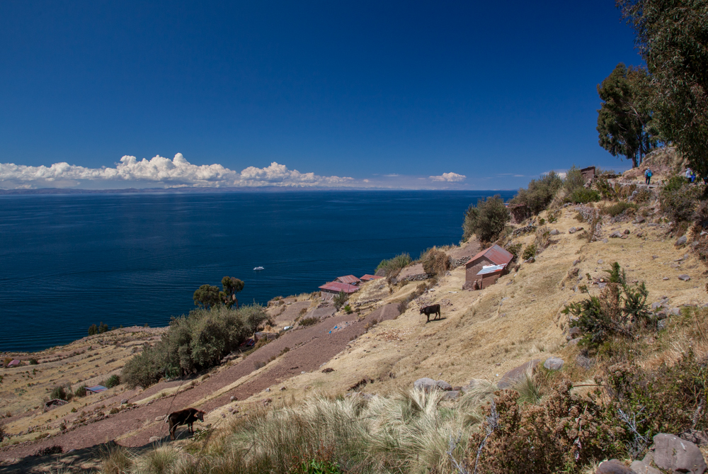
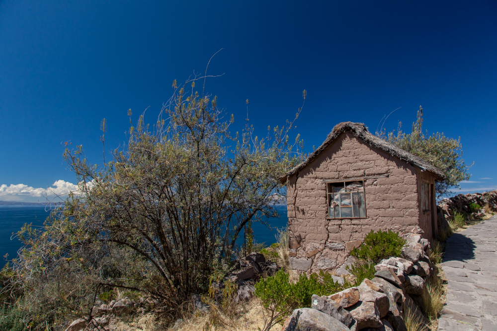
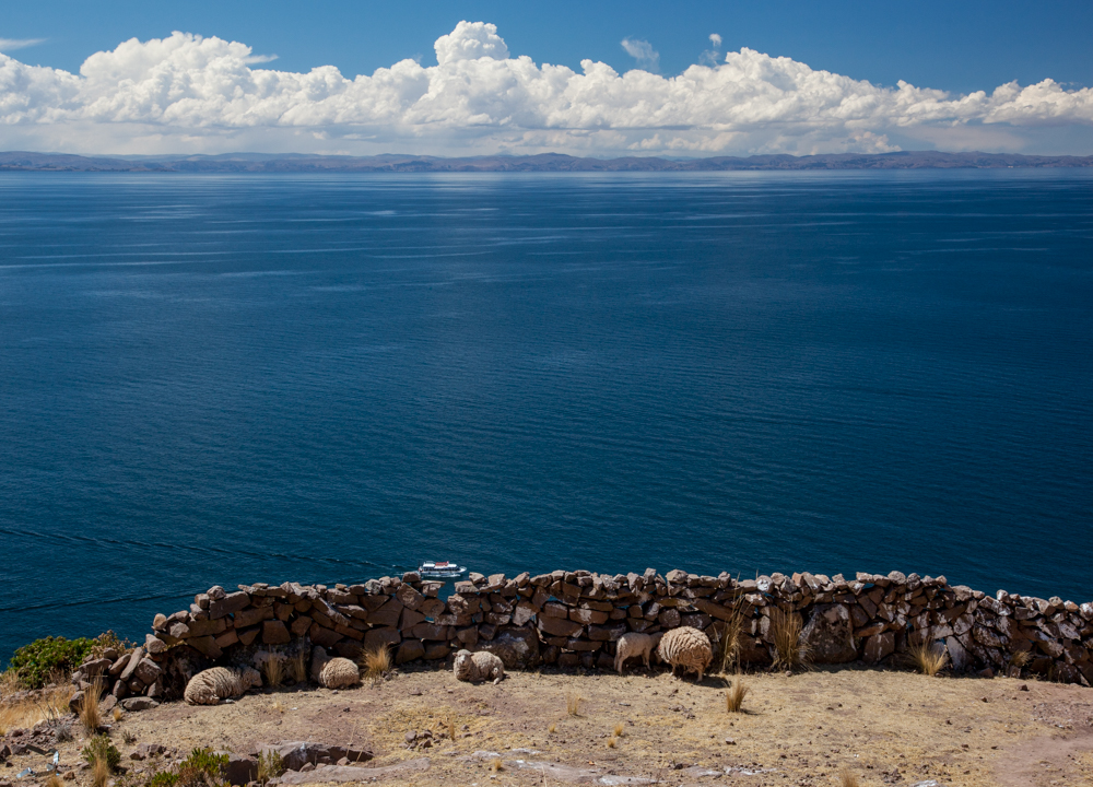
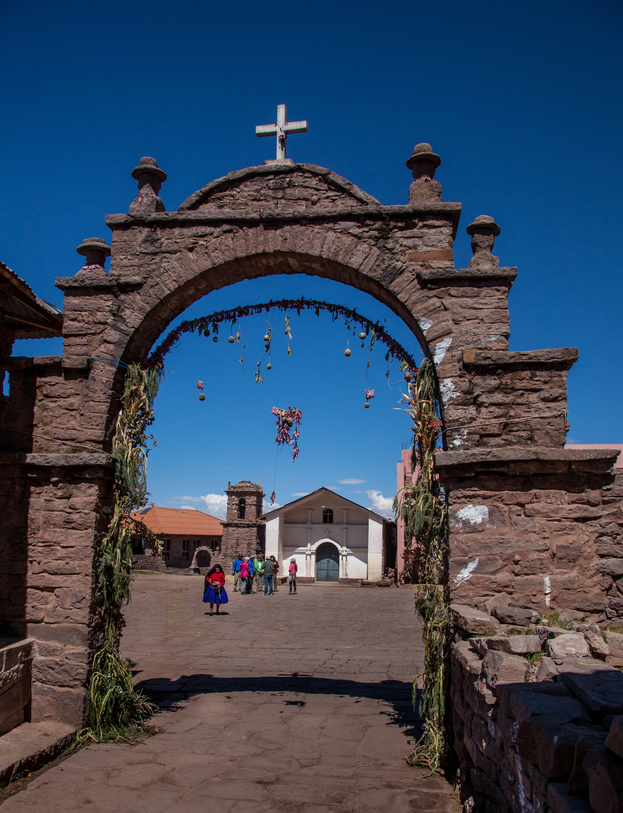
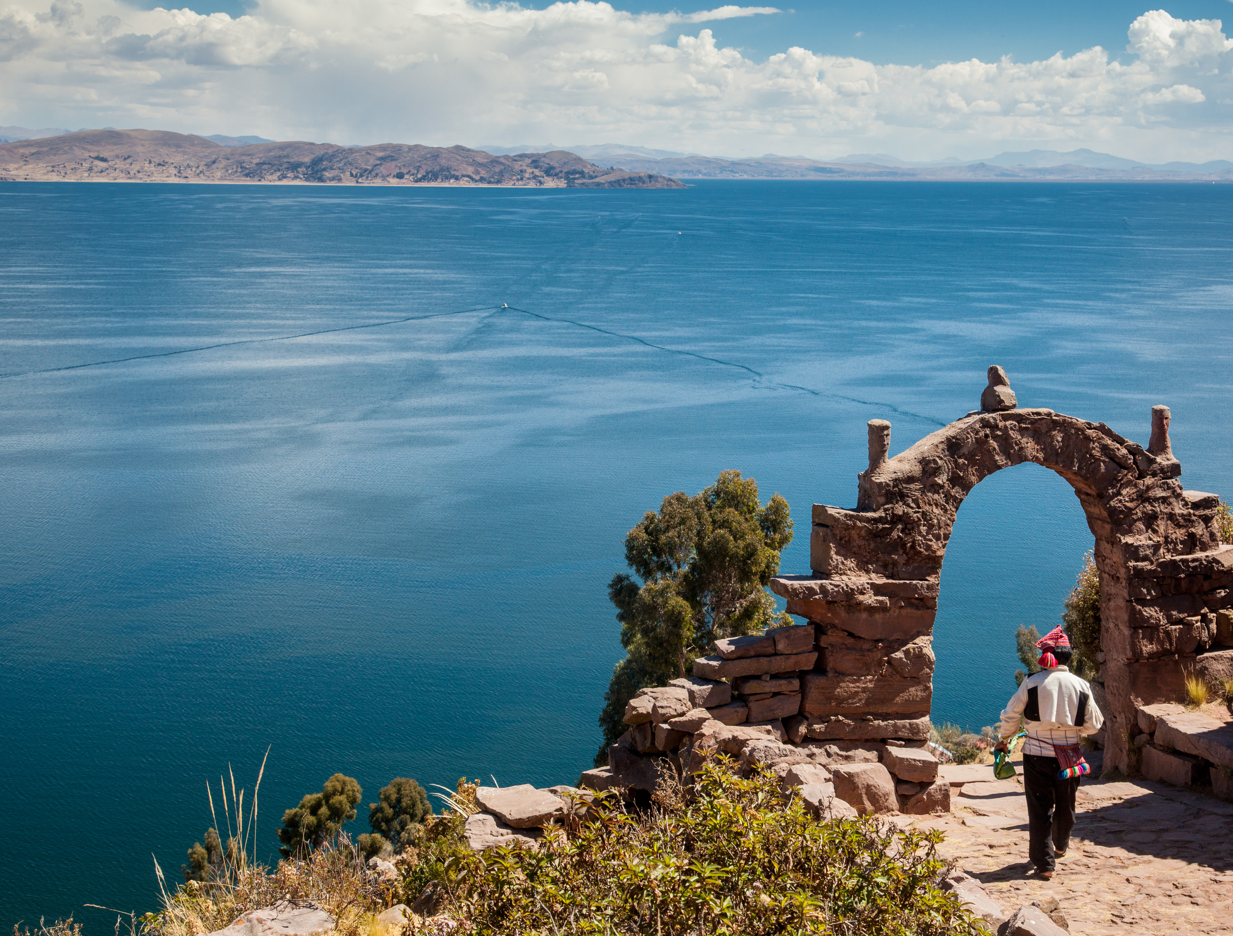
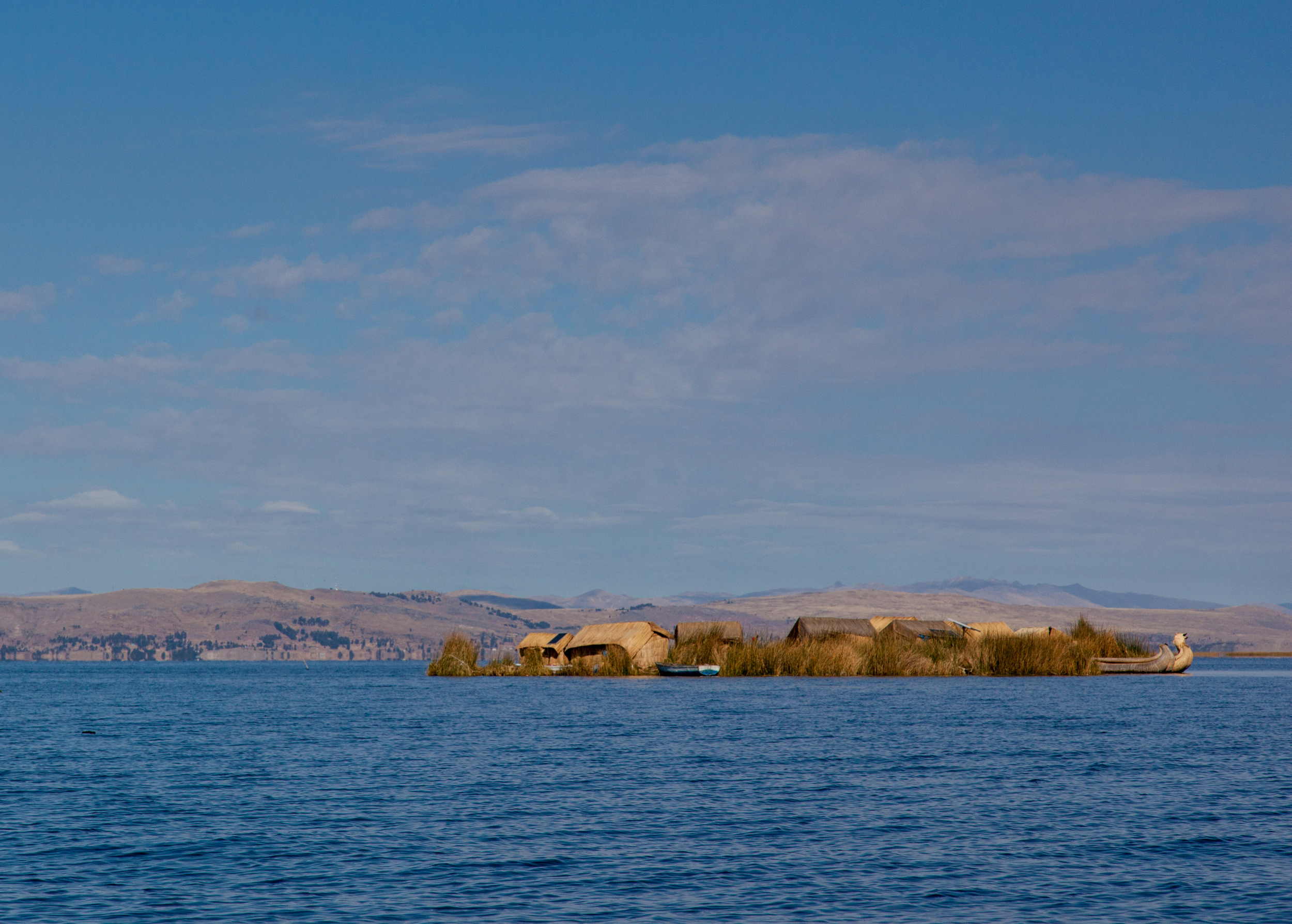
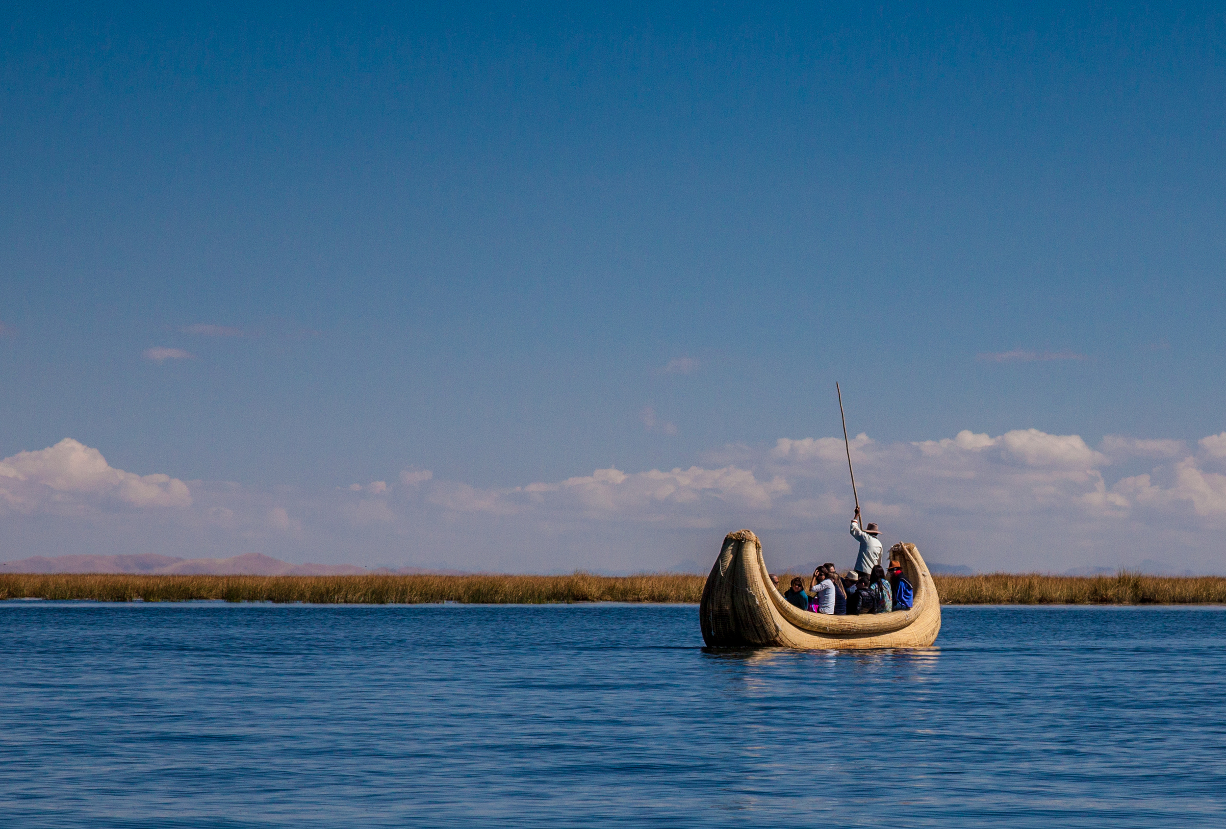
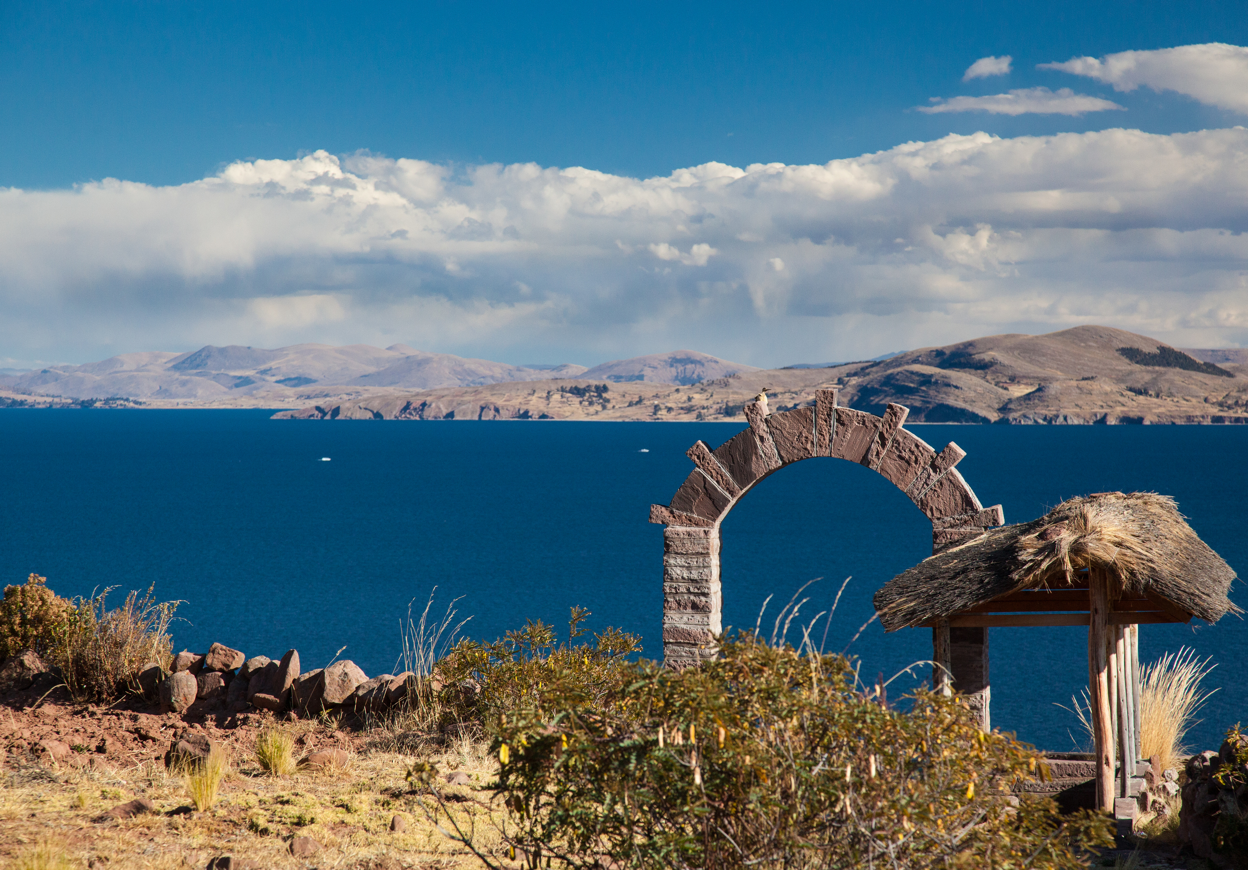
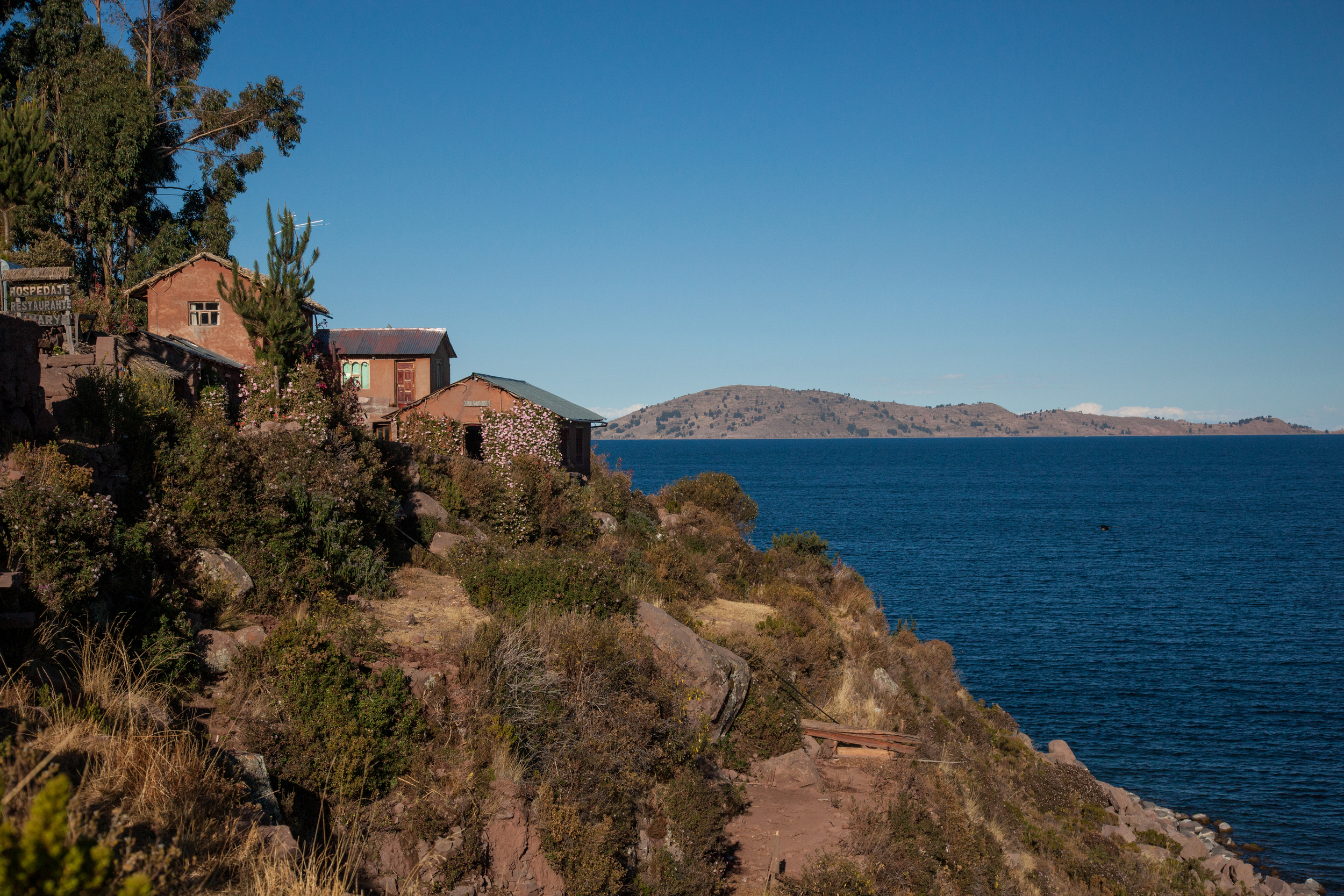
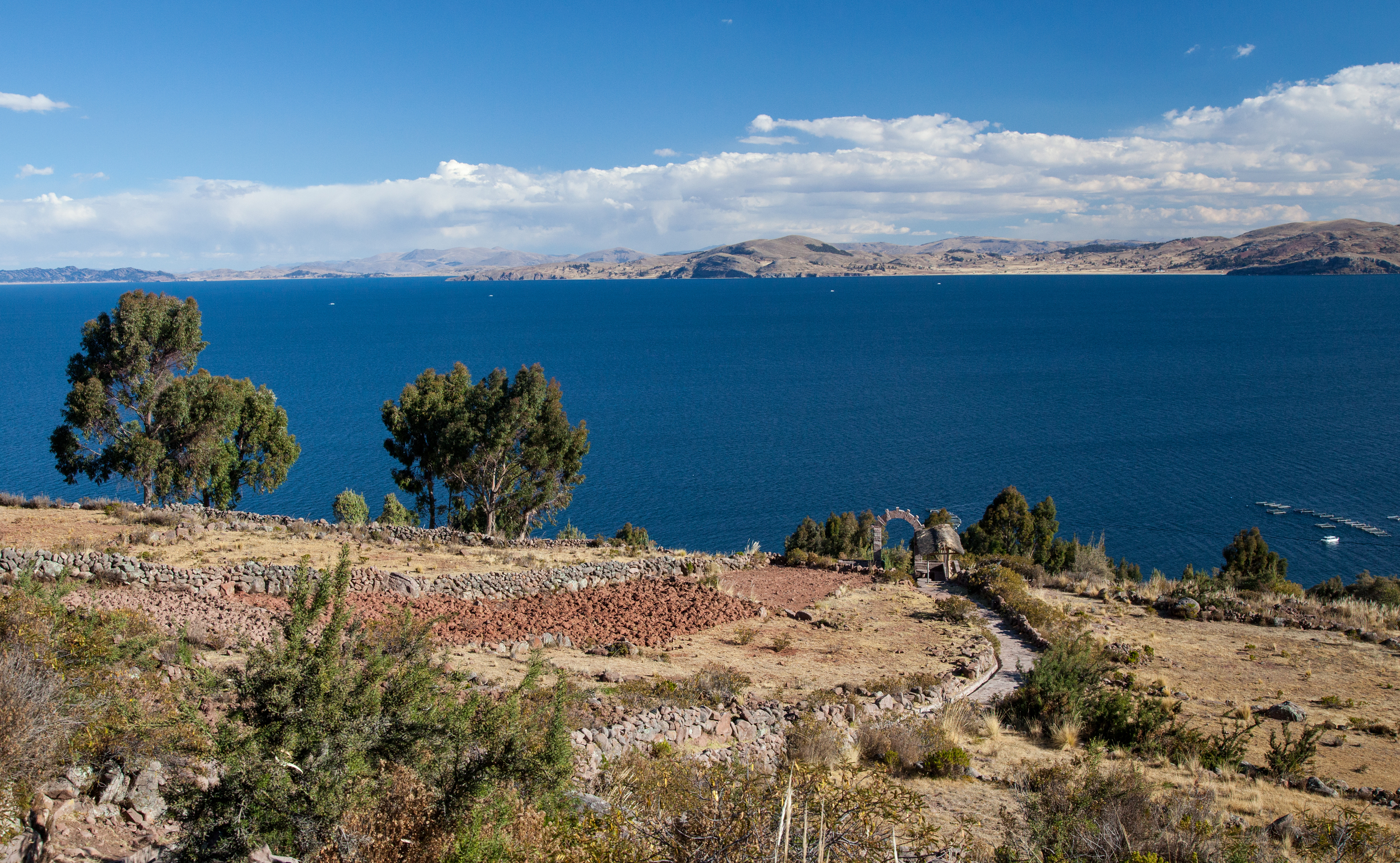
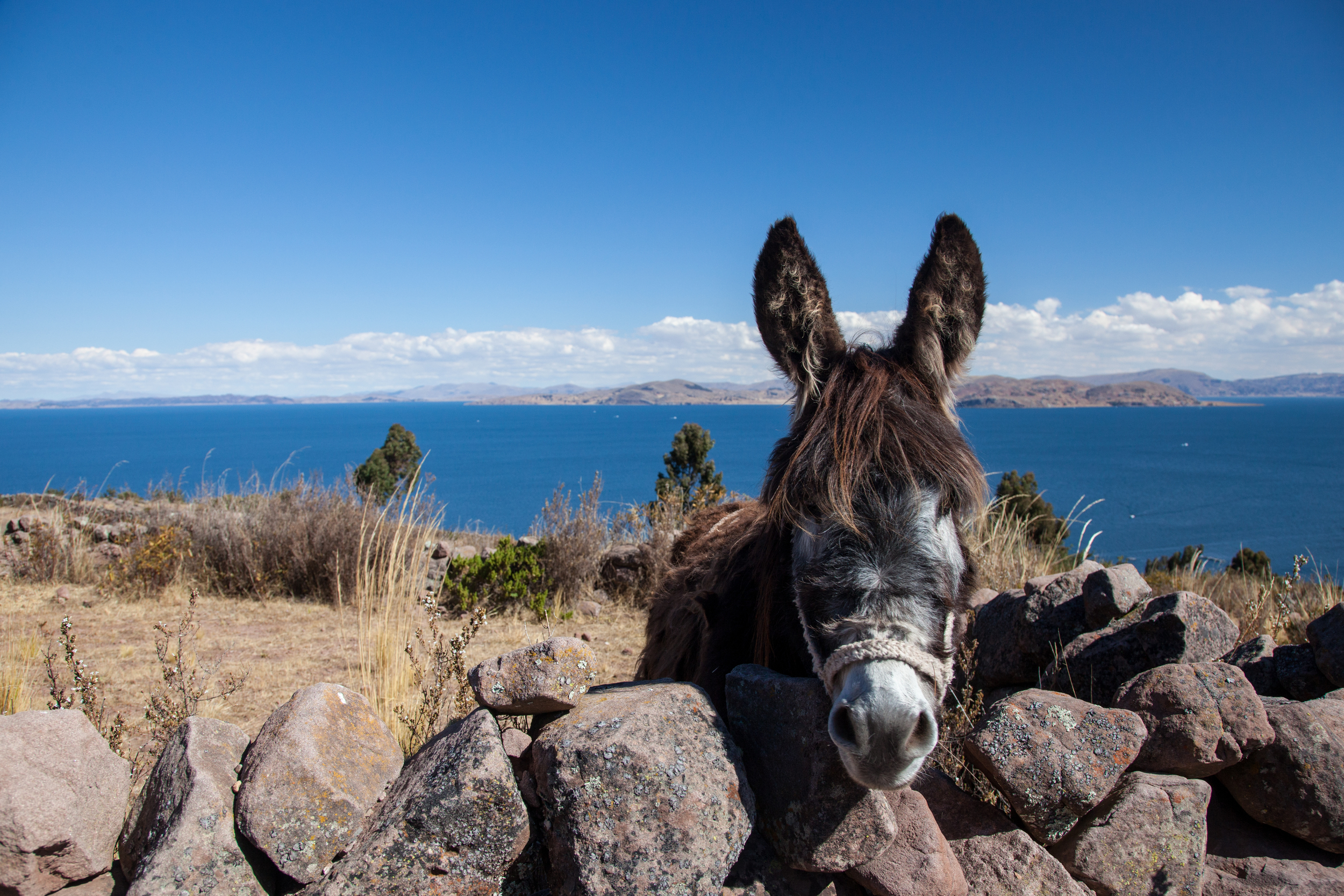
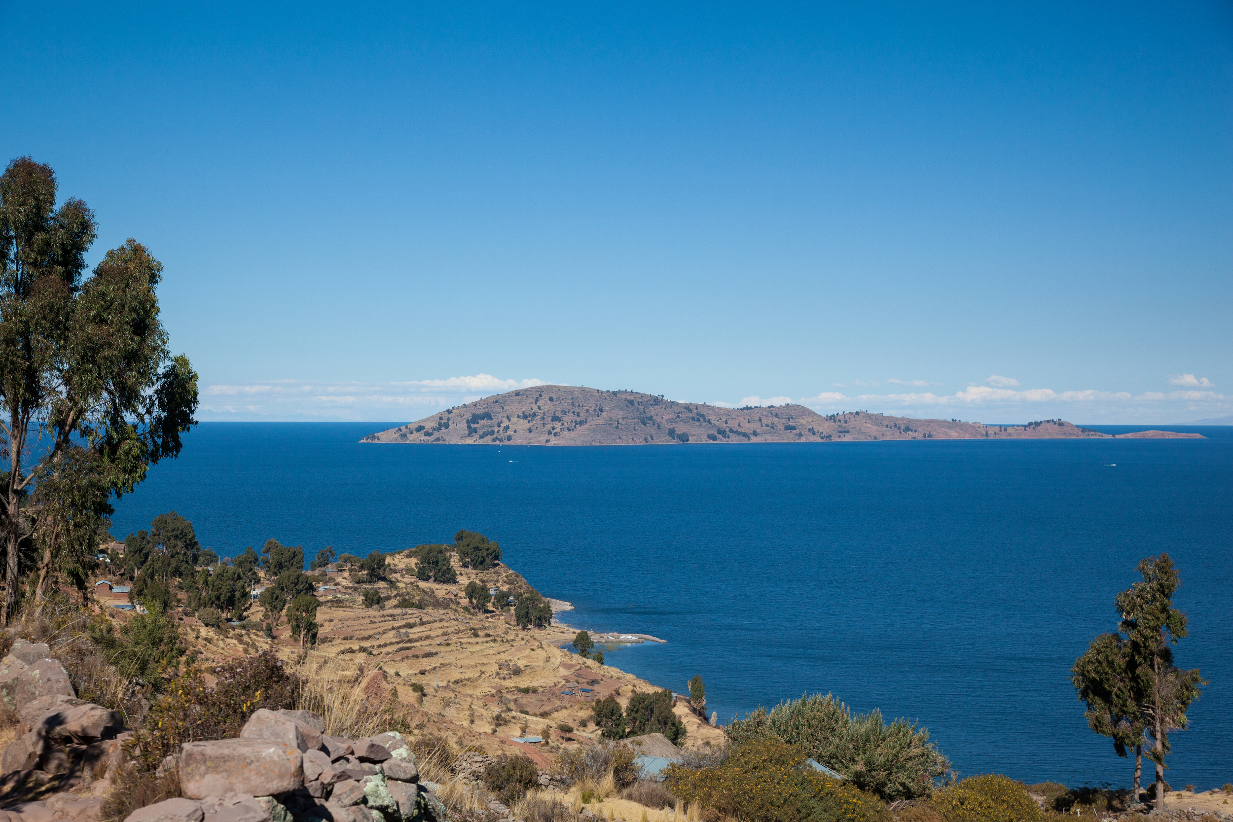
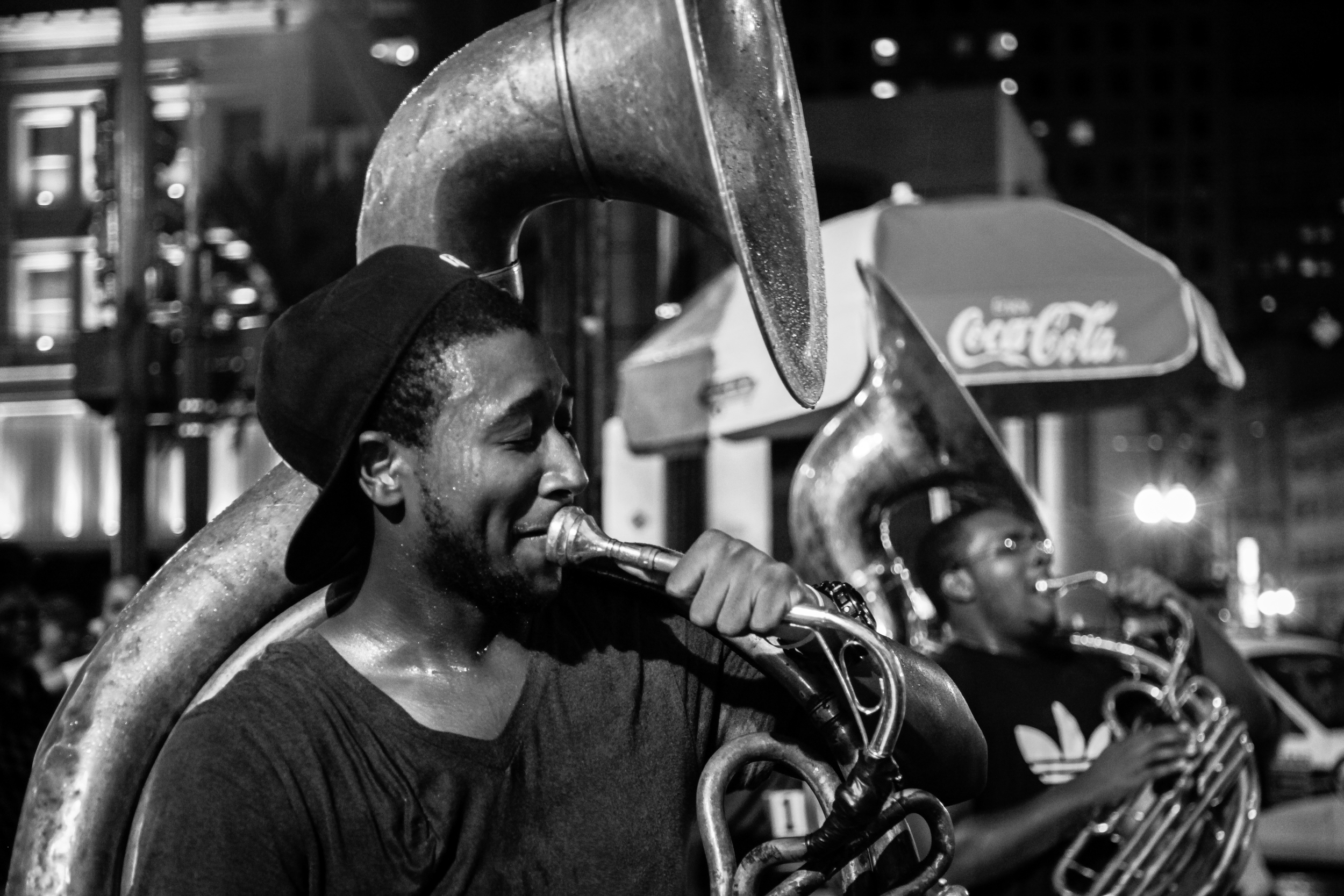
From the project, El Cusco de Martín Chambi
When things calmed down a bit Denise and I both independently stumbled across versions of "Then and Now." projects. I don't recall the one that she found, but I was intrigued by a project that the Martín Chambi Photographic Archive and Dartmouth put together. This project brought Martín Chambi's historic images of Cuzco, Peru to life by placing enormous enlargements on the streets where the original photos were taken. This allowed people to see what had changed and what had remained the same in their historic city.
It seemed like doing a Then and Now project in Middletown was our obvious next step. We already had the "Then" part digitized. It seemed like we had all the time in the world to do the "Now." So, naturally we didn't do much. I went out once in the spring of 2015 and got a few shots of the north end of Main St., but that was about it. In December I was hired at another library about an hour from Middletown. That lit a fire under us. Over the course of two days in January, Denise and I went out and wandered Main St. in the bitter cold and drove all over the city. We probably looked like a pair of lunatics toting clipboards and cameras, standing in one spot, moving a foot the left, two feet to the right, waiting for traffic to stop to run out in the middle of the road, all to make an attempt at recreating a photograph from a much earlier time.
Here are a few examples of what I have had the time to put together so far. There will be many more to come.
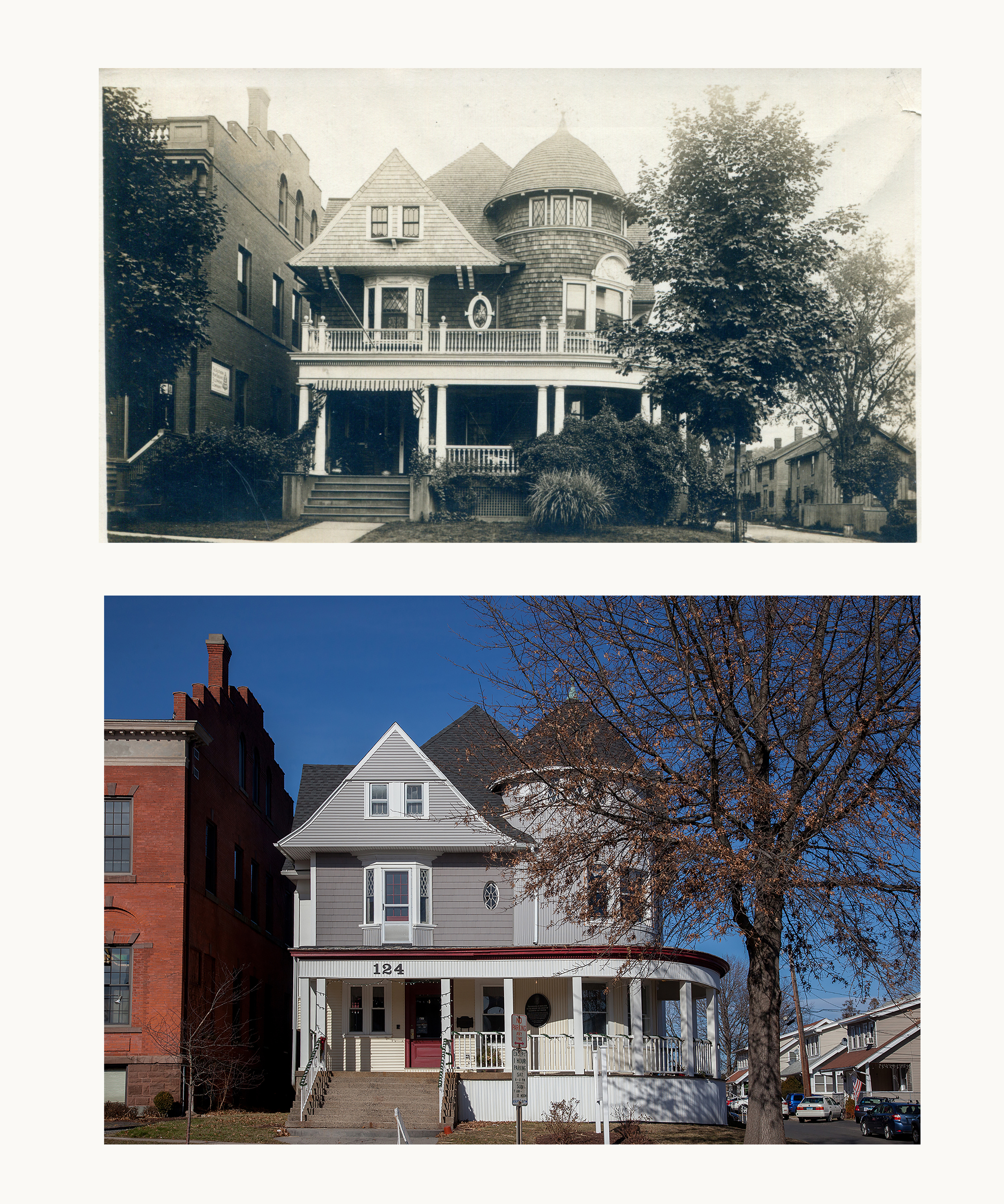
124 Washington St. Middletown, CT
This one is 124 Washington St., the current home of MARC Community Resources. Oddfellows Playhouse is the building to the left.
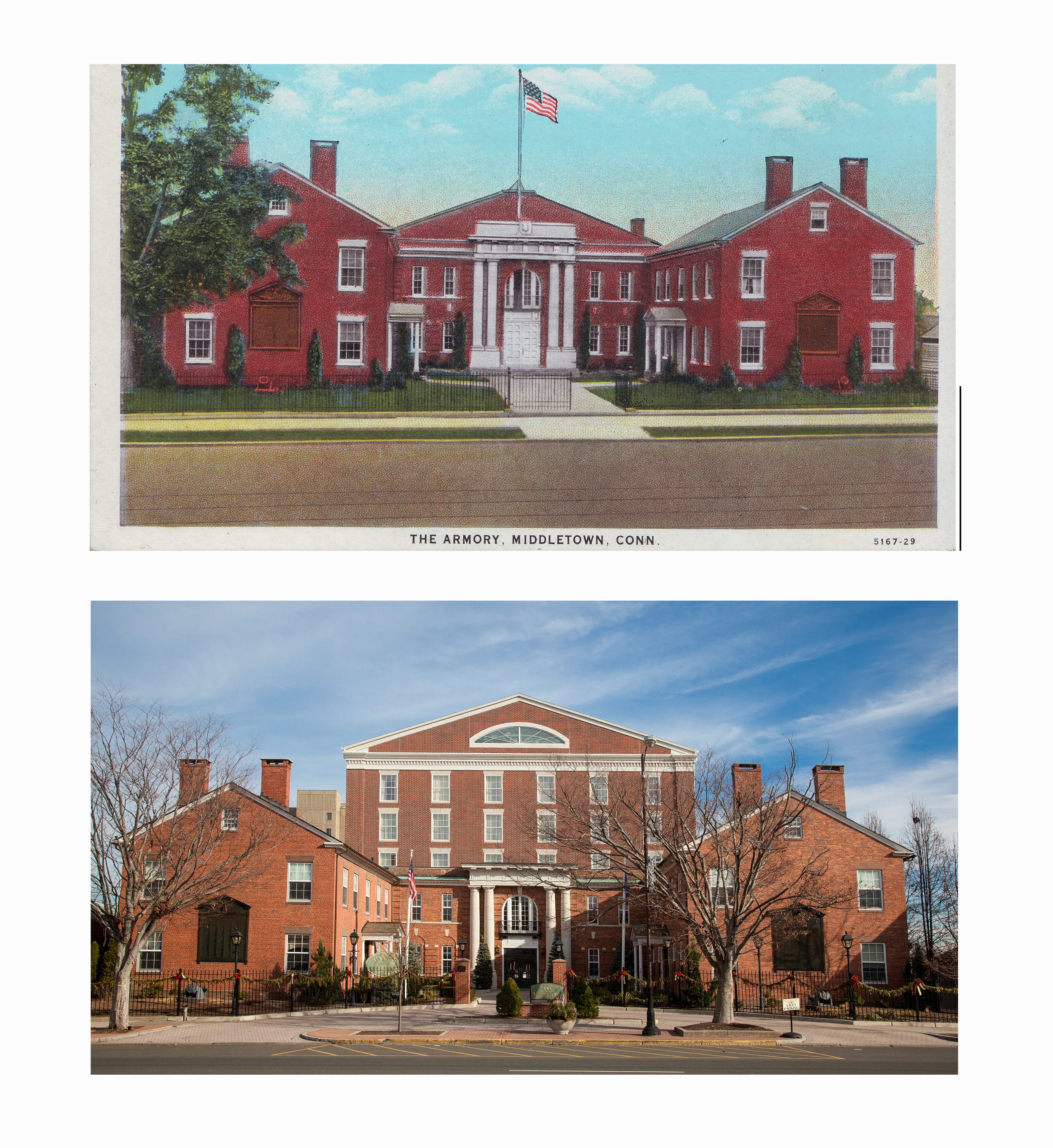
The Armory
Originally a mansion, later a National Guard Armory, this prominent Main St. building is now the Inn at Middletown and the Tavern at the Armory.
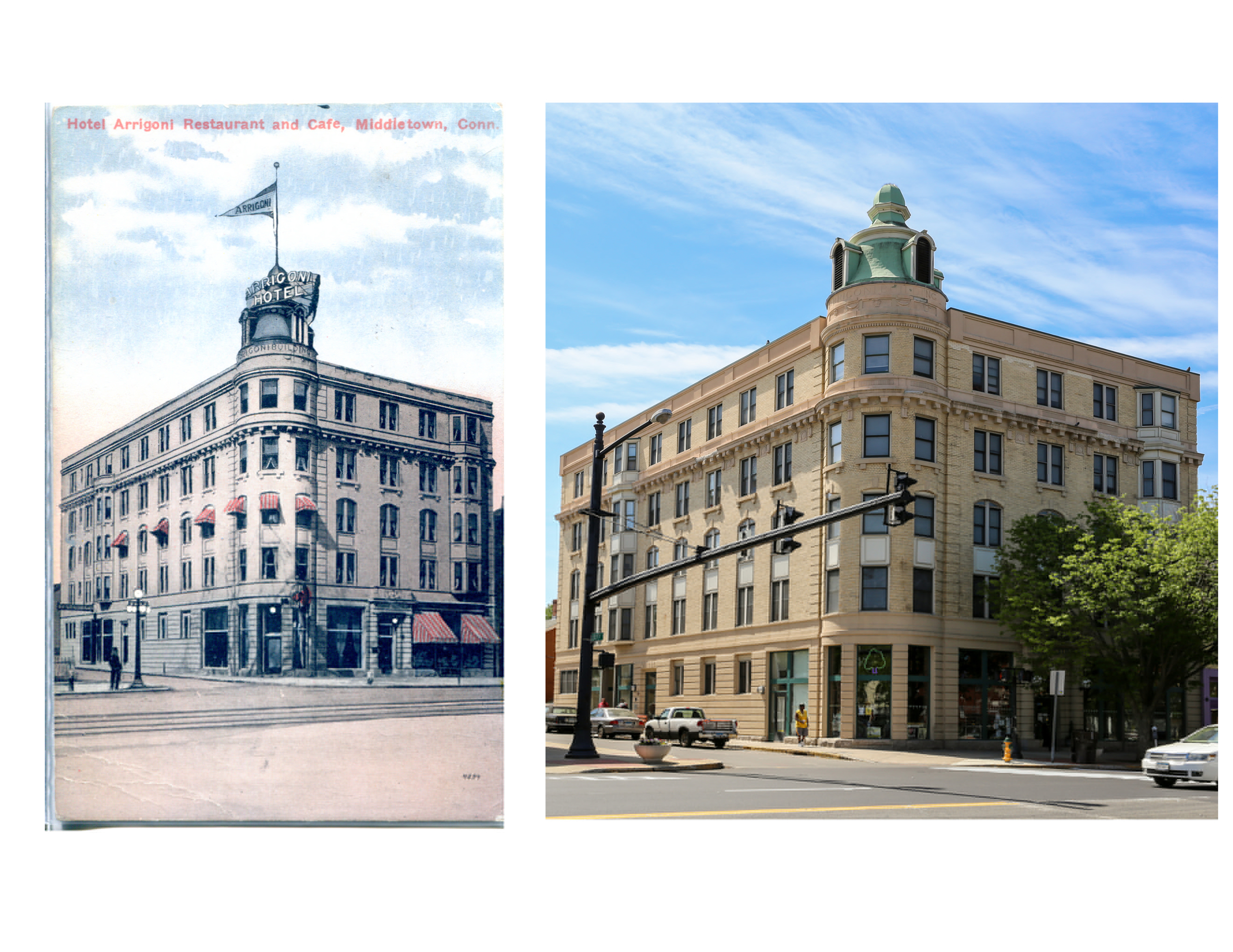
The Arrigoni Hotel
The Arrigoni Hotel, located at the corner of Main St. and Liberty St., opened in 1915. It was a 36 room hotel that had 5 private dining rooms. In 1995 The Connection, Inc. purchased the building and converted it into Liberty Commons, the first supportive housing program in the state. The bottom floor is currently the Buttonwood Tree, a local performing arts and cultural center.
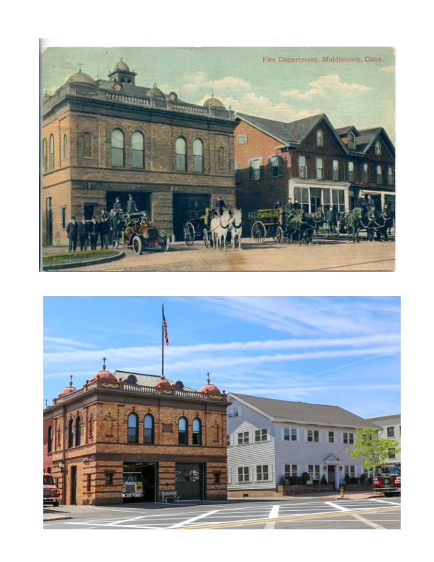
Main St. Fire House
The Main St. Fire House was built in 1899 in the Renaissance Revival Style. It has been in continuous use ever since.
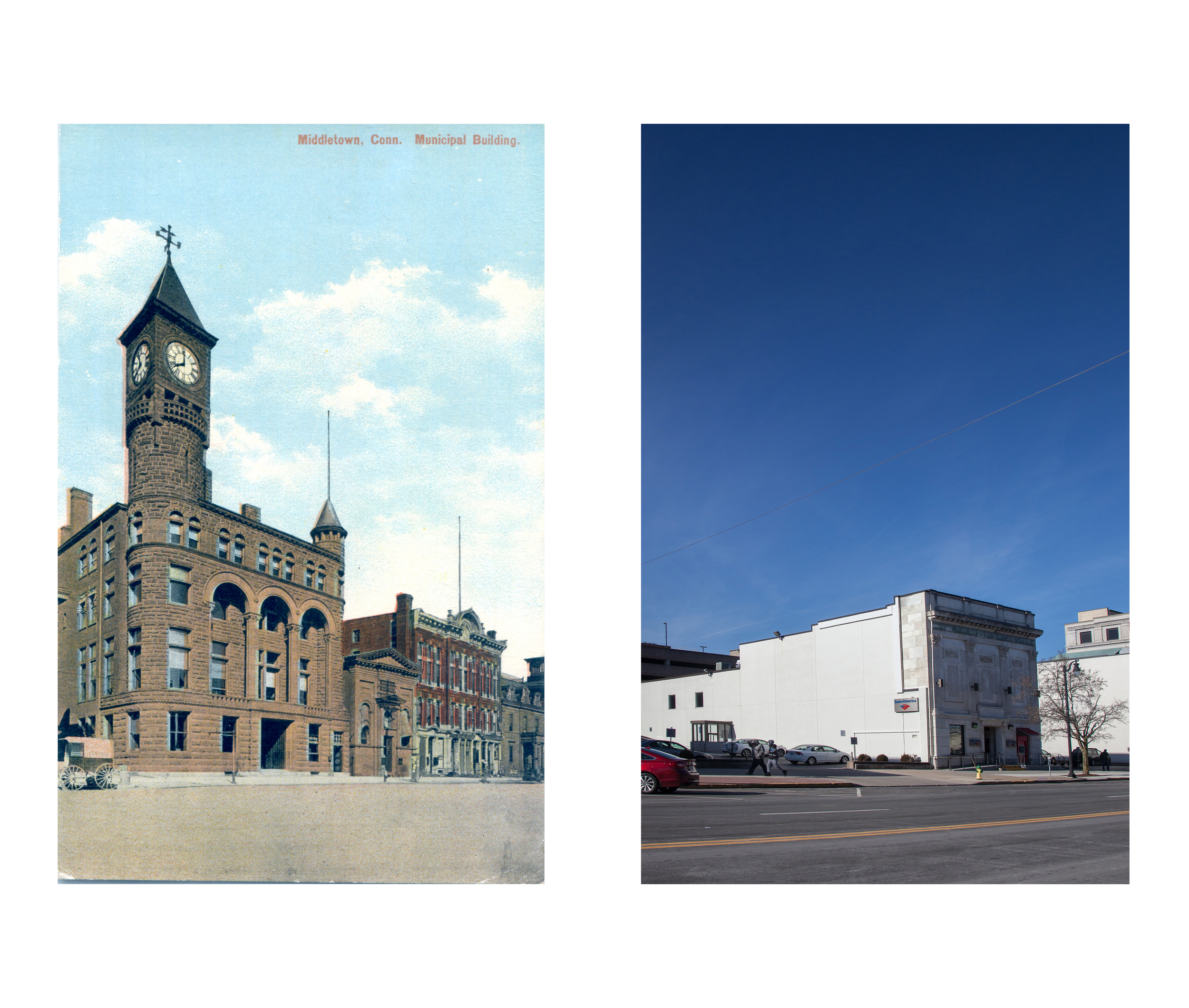
Municipal Building
The old Town Hall is now a parking lot for Bank of America.