The Altiplano
Just down the road from Sillustani are a series of traditional country homes. While only an hour or so from Puno, it is a different world. The whole region is known as the altiplano, which translates to “high plain.” The altiplano stretches from northern Chile and Argentina, through Bolivia and up along the Andes into southern Peru. The average altitude is 12,300 ft.
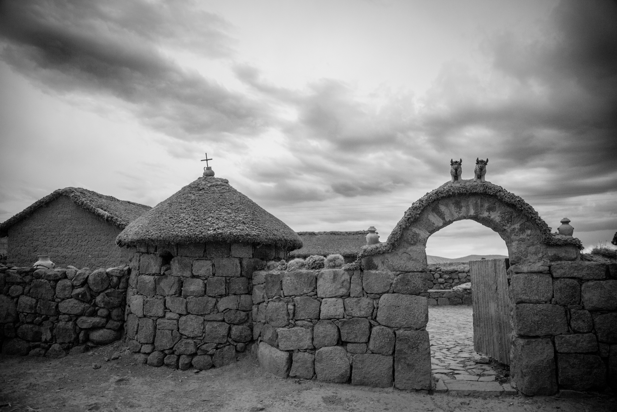
Traditional country home along road to Sillustani
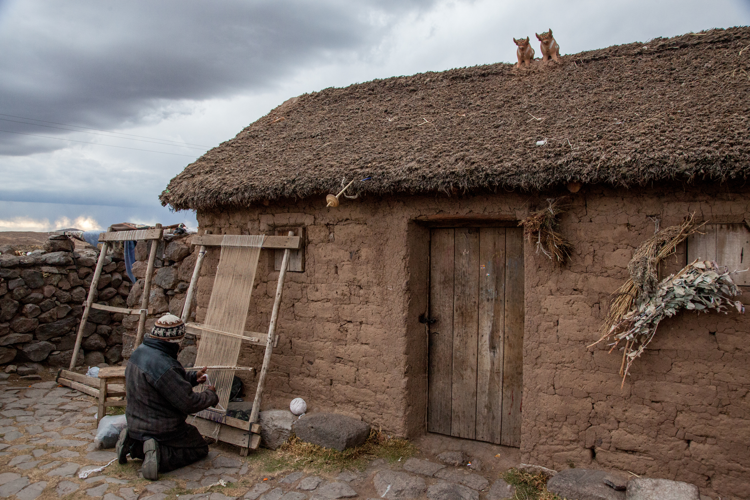
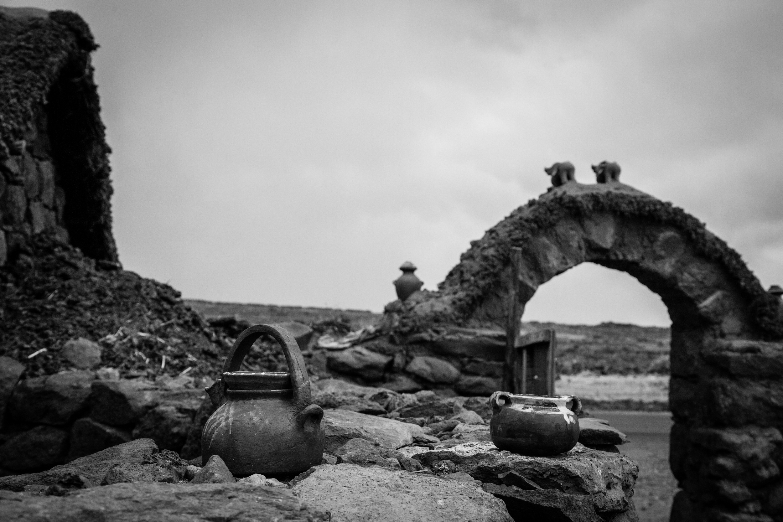
Weaver near Sillustani. Note the toritos, or little bulls, on the rooftop. They are a very common decoration in the altiplano, even up into Cusco.
View from the courtyard of a home near Sillustani
Traveling along Route 3 from Puno to Cusco, there is a stark, barren beauty everywhere you look. Homes and villages are interspersed along the way.
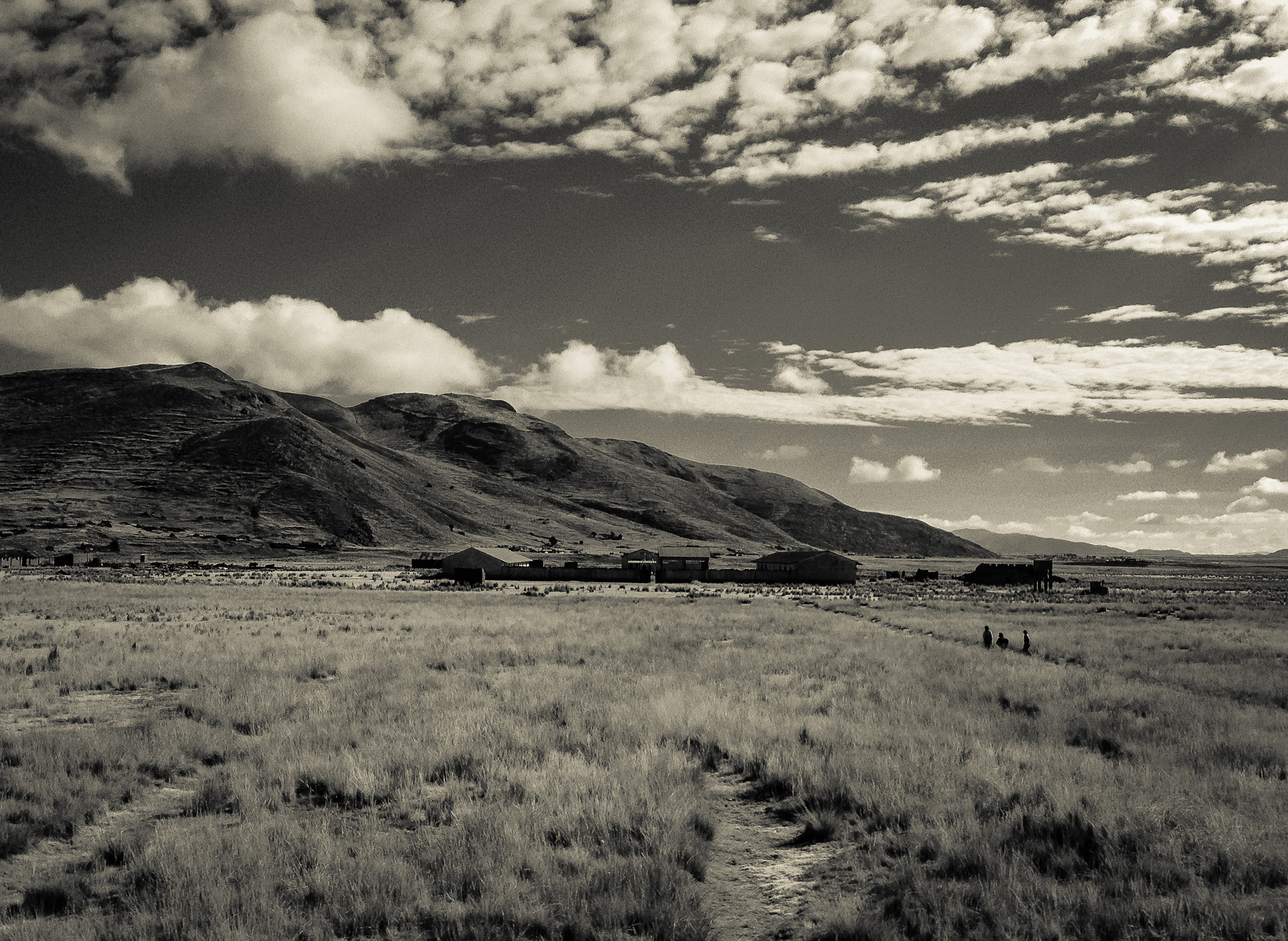
Walking home along the altiplano
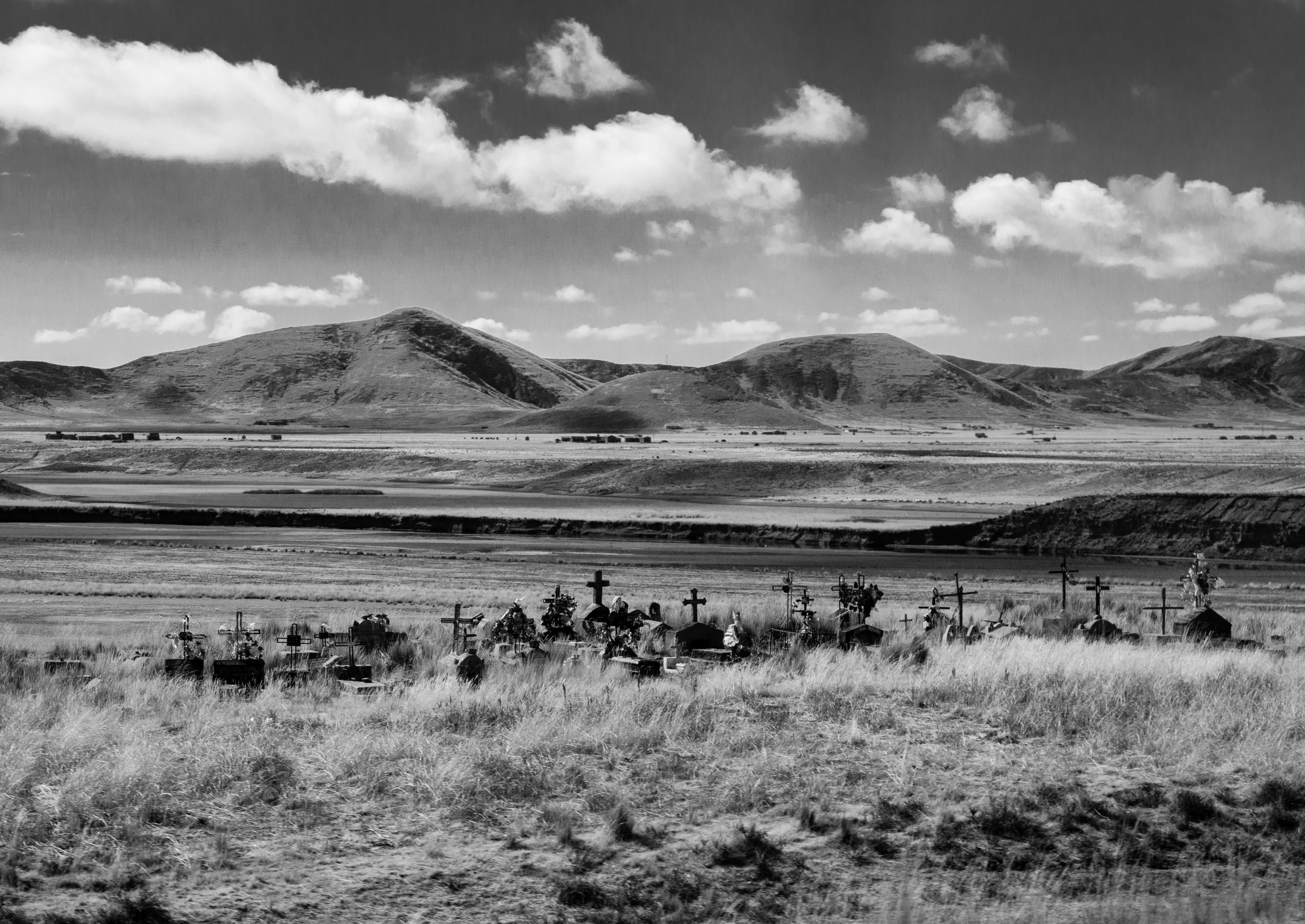
Rural cemetery along Route 3
Pucara
Pucara is a small town of fewer than 2,000 inhabitants 67 miles north of Puno.
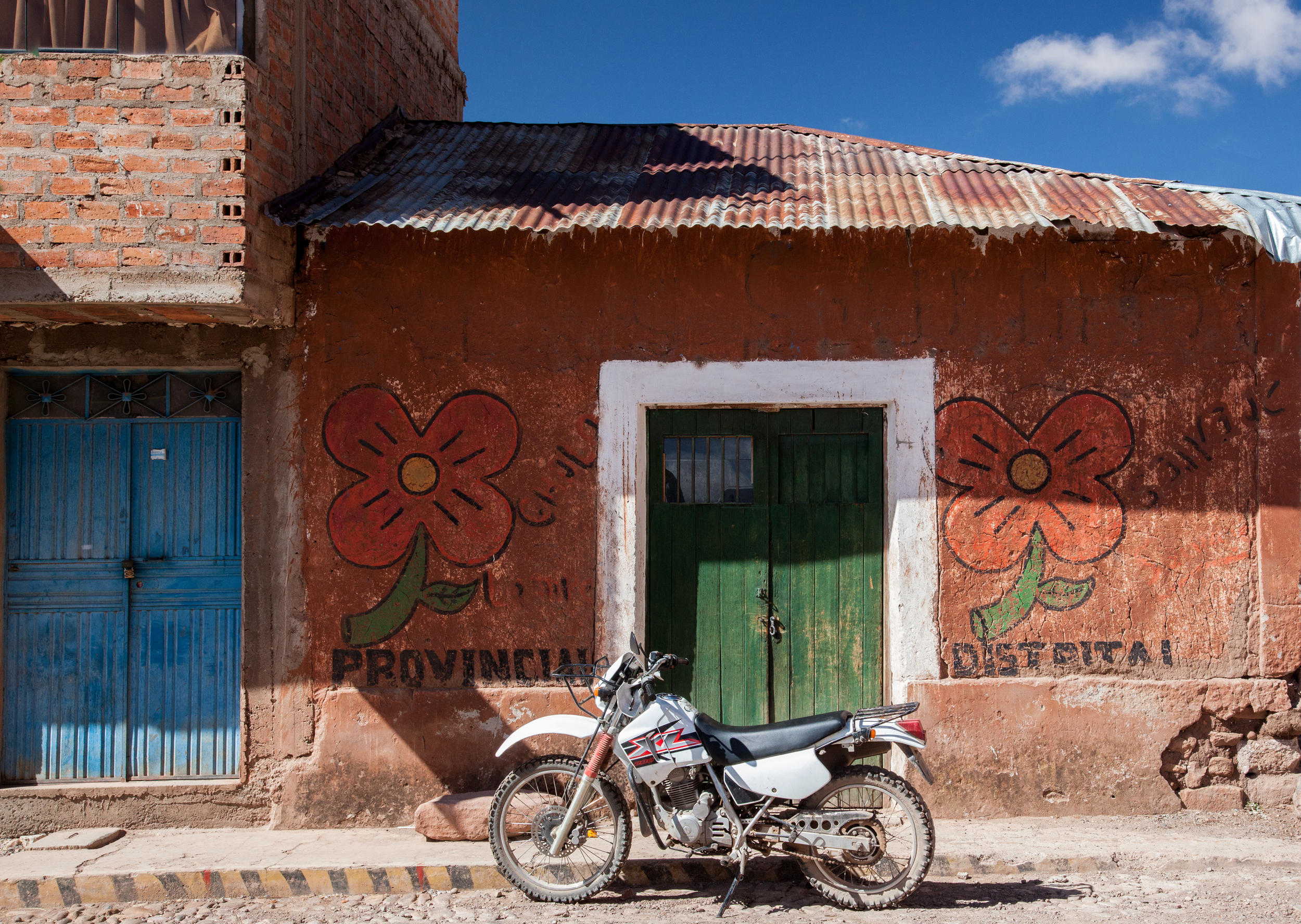
Motorcycle in front of small shop just off the Plaza de Armas in Pucara
For such a small town, Pucara is widely known throughout the region for the pottery that is produced there. In particular, toritos, the little pairs of bulls that are found on rooftops from Puno to Cusco originated here. The toritos are said to be symbols of luck and fertility.
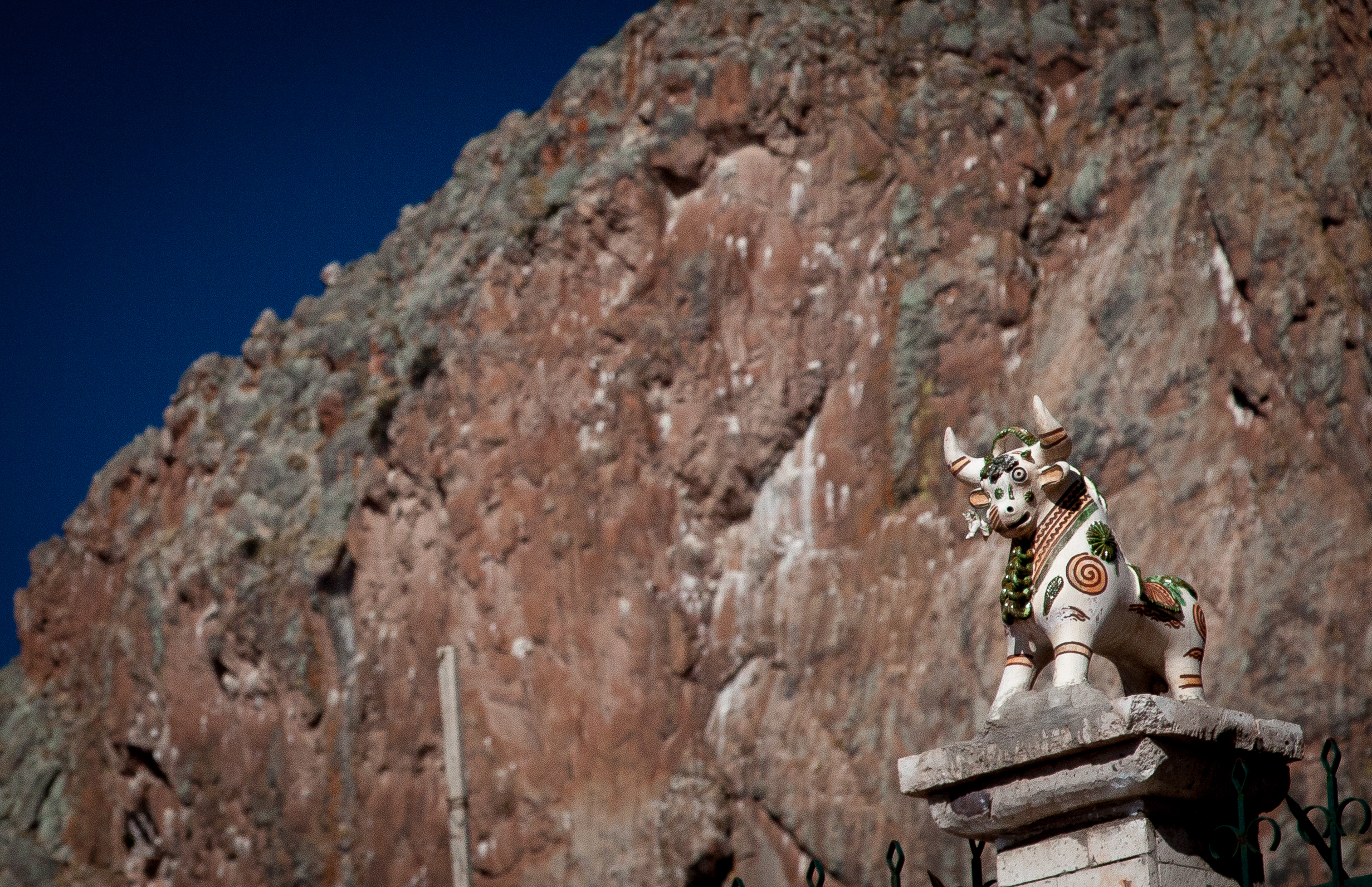
An ornate torito on a fence post outside of the the Iglesia Santa Isabel
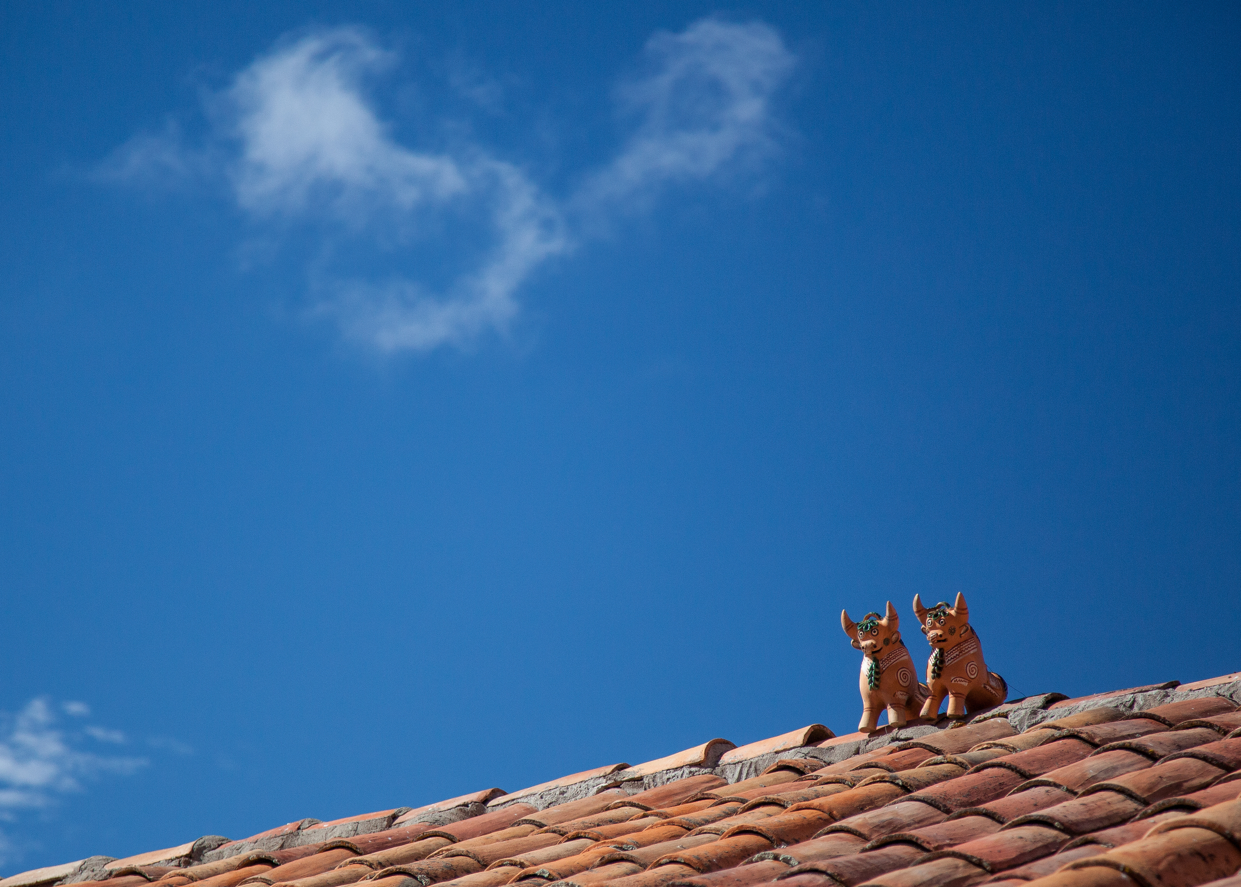
More rooftop toritos
The Plaza de Armas in Pucara is an attractive little square dominated by Iglesia Santa Isabel. Santa Isabel was built by the Jesuits in 1767 in the typical Andean Baroque style that is so common throughout the altiplano.
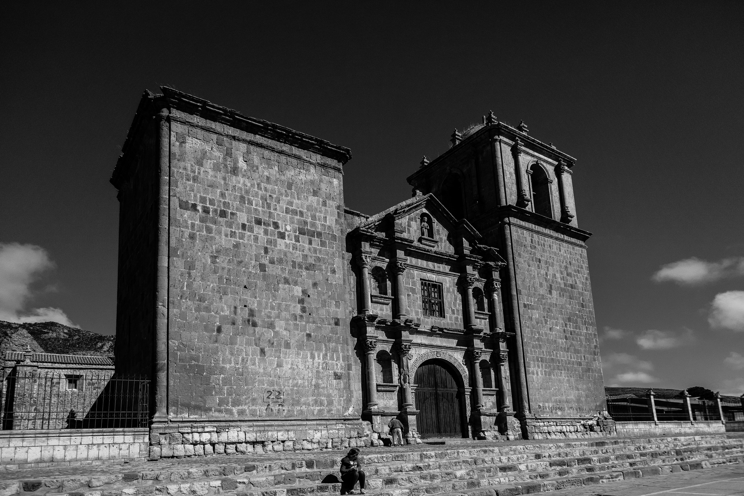
Santa Isabel
North to Abra la Raya
North of Pucara there are a series of small homes and villages along Route 3. This high plains slowly grow into much taller peaks in the distance.
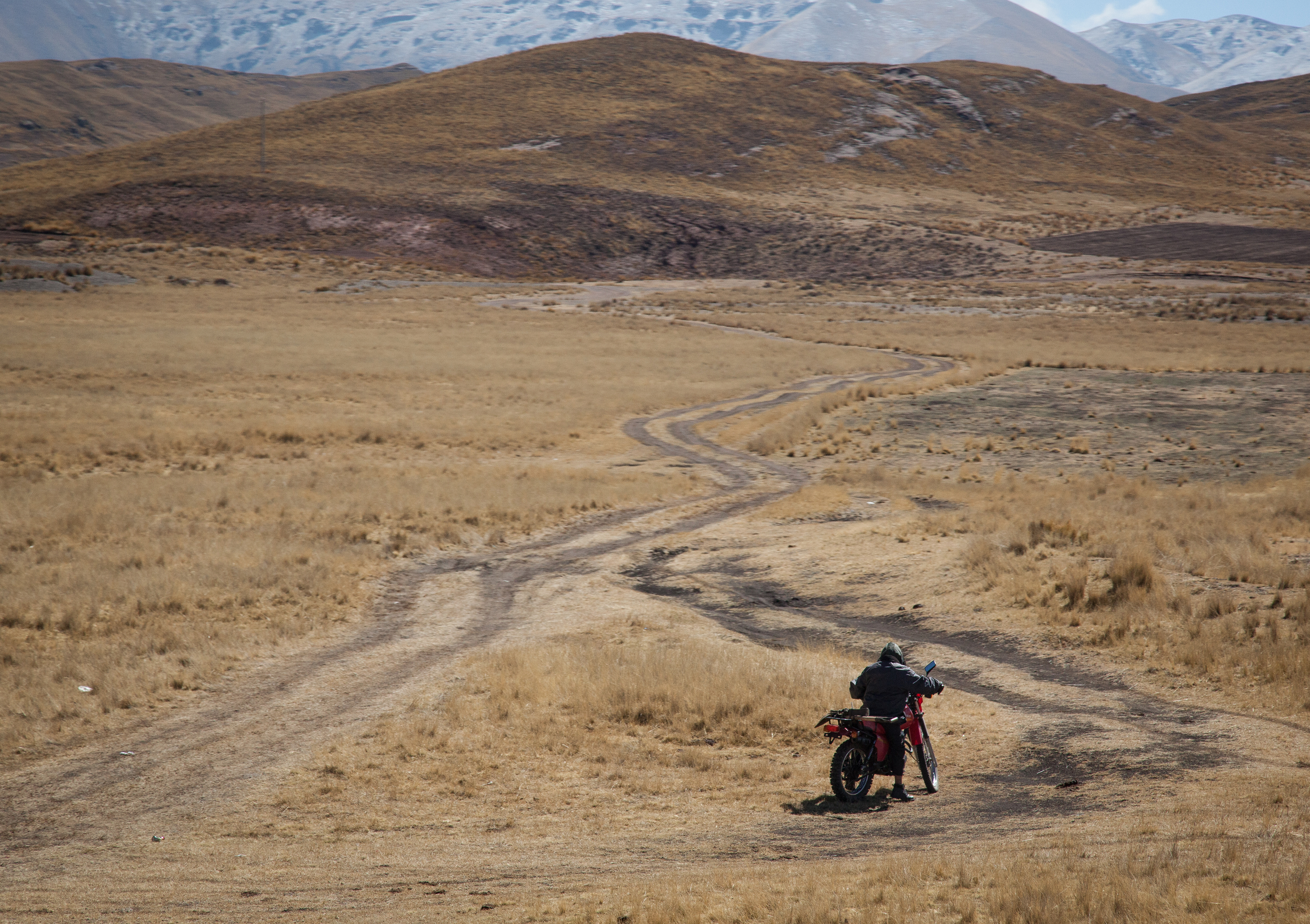
Motorcycle somewhere north of Pucara
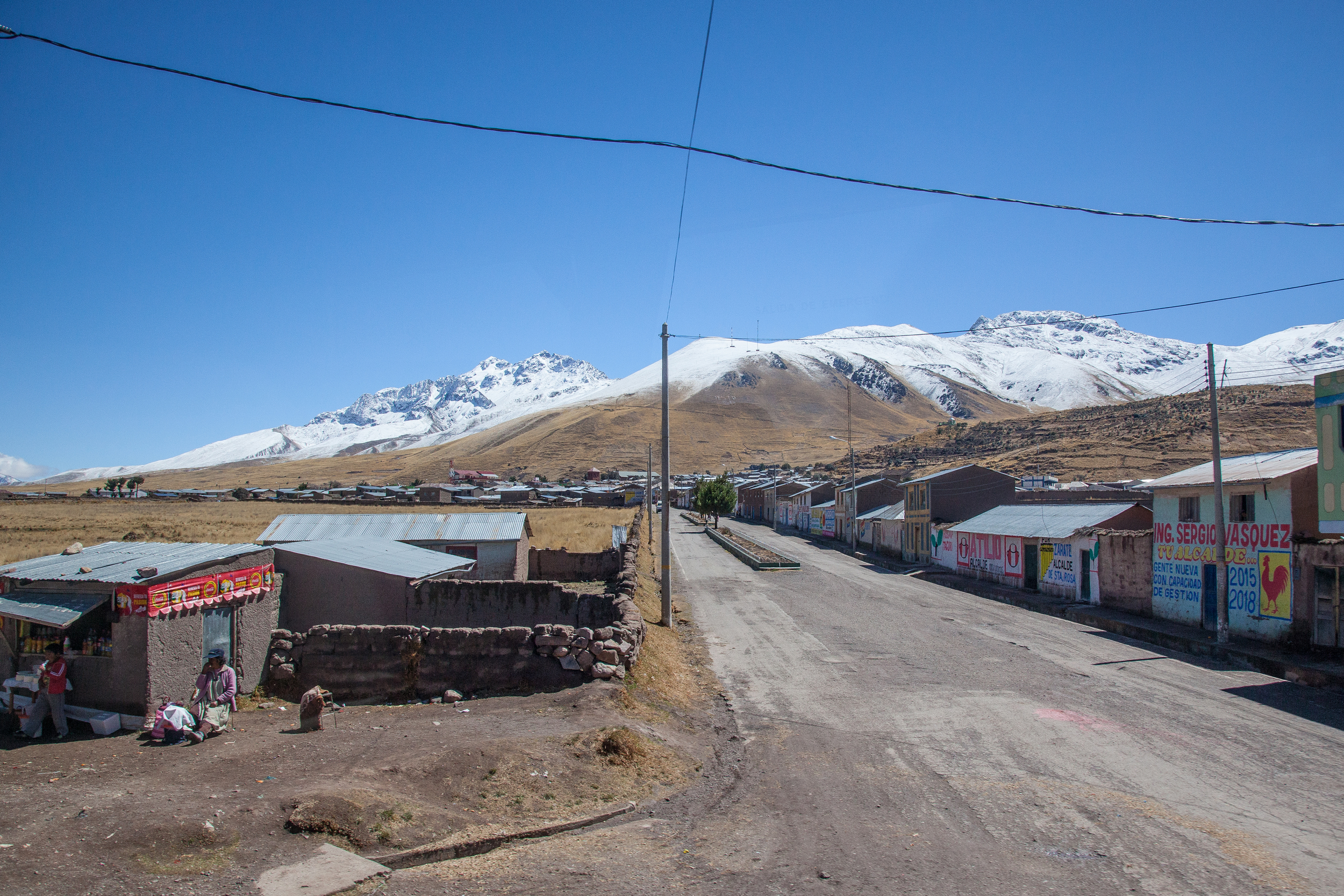
The village of Santa Rosa
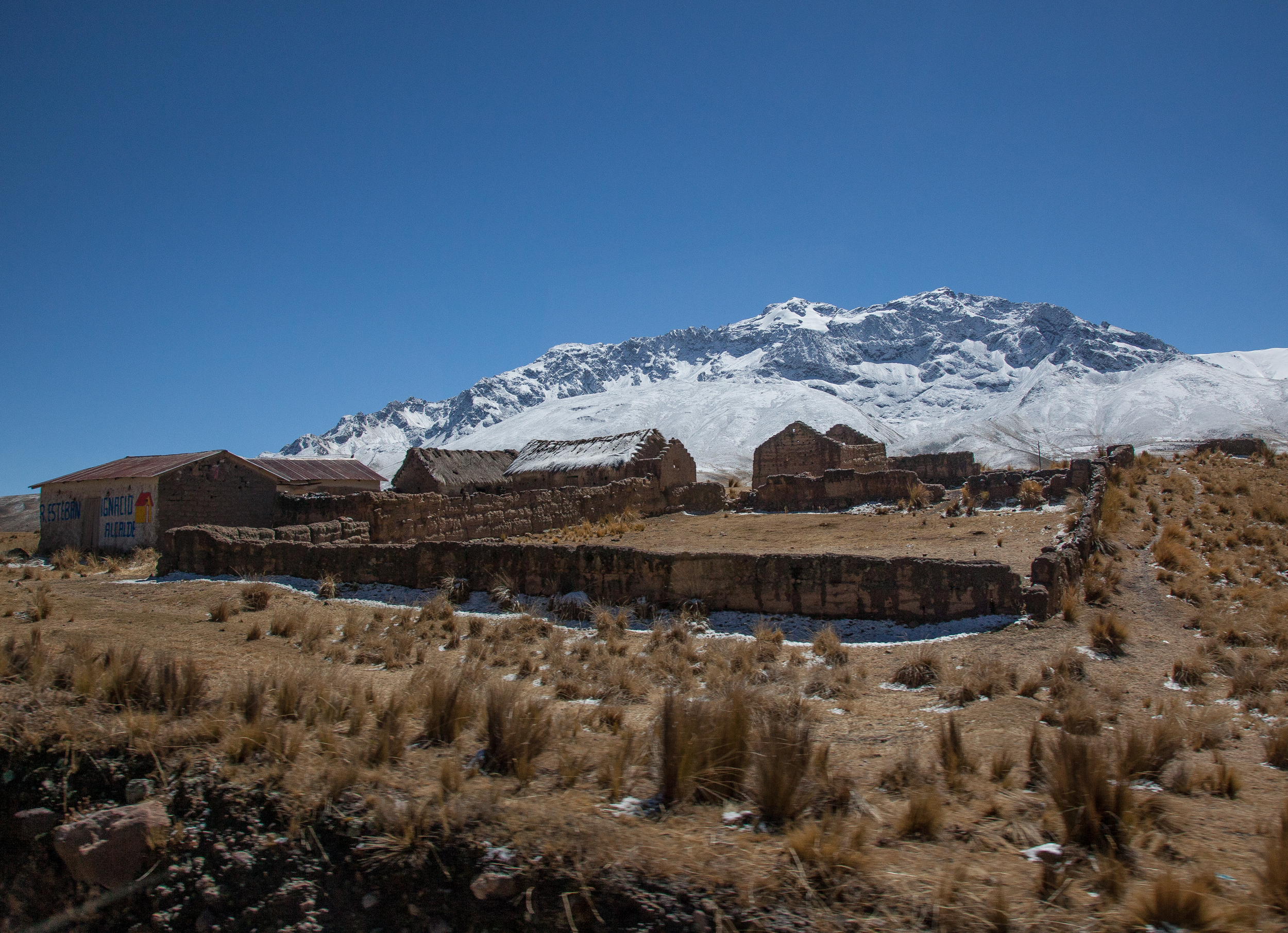
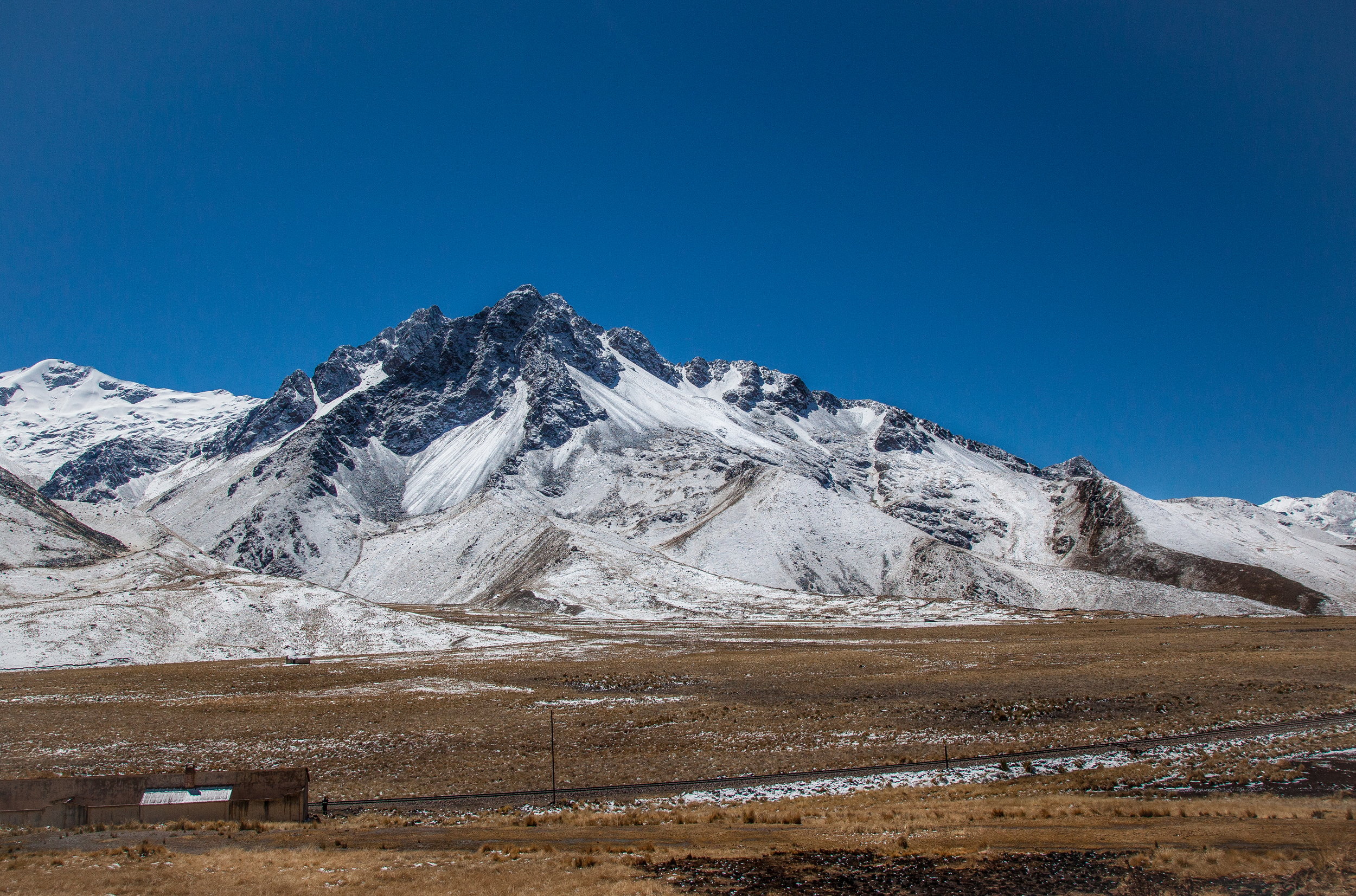
Farm with the mountain, Khunurana, in the background.
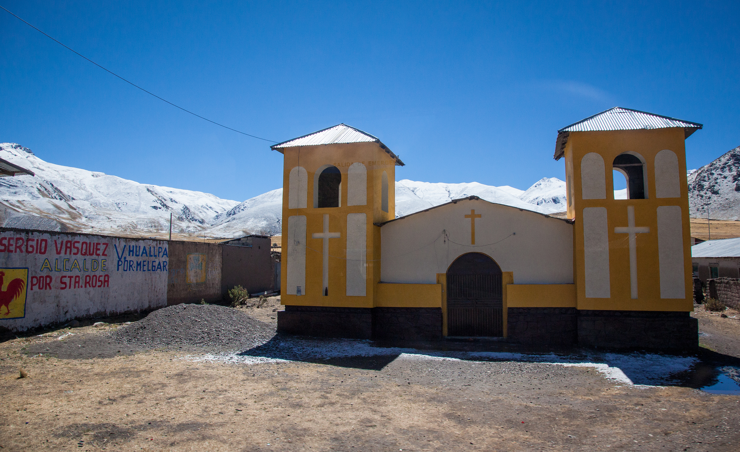
Village church just before the Abra la Raya pass.
After passing Santa Rosa, it was just a little bit further to the Abra la Raya pass. This is where the Puno Department ends and the Cusco department begins. The pass is at an altitude of 14,172 feet, which I believe is the highest I've ever been.
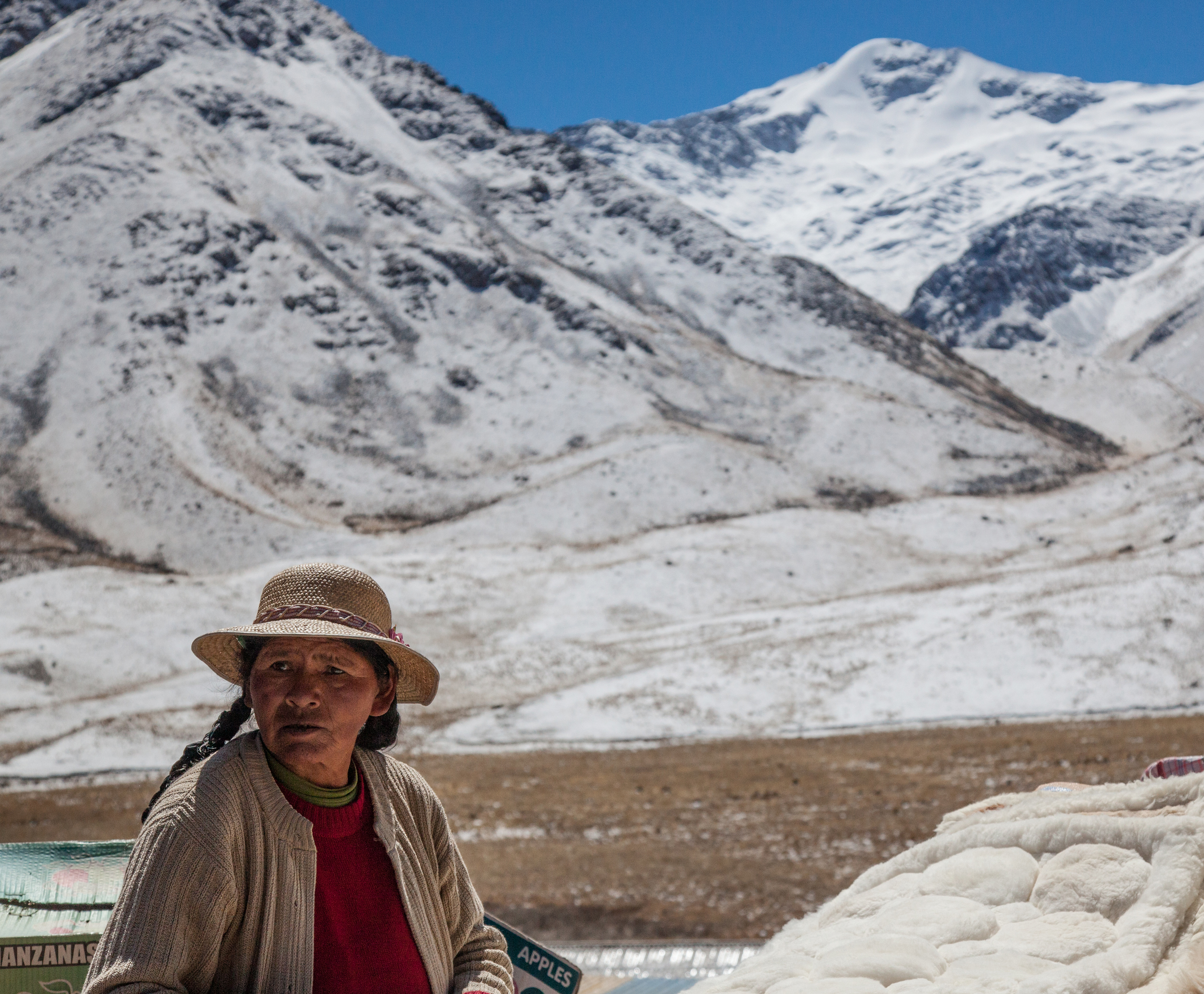
Woman at the Abra la Raya pass
The waters which flow from the mountains in the La Raya range ultimately form the headwaters of the Urubamaba River which ultimately flows through the Sacred Valley and around Machu Picchu.
Apu Chimboya